Standing On A Potato Chip

Mount Woodson_Matt_35

It is one of the most prominent peaks in the San Diego region. On a clear day it is visible from most parts of  the County. This is Mount Woodson. It was named after Dr. Marshall Clay Woodson who happened to serve as a surgeon in the Confederate Army during the American Civil War who also became a prominent citizen in San Diego county. He settled here in 1875 on a homstead of 320 acres at the base of this peak. It is located between the cities of Poway to the west, and Romona to the east. There is a trail from either side leading to this 2,855 foot peak.

MountWoodson_36 Matt

On November 22, 2013 Matt and I hiked to Mount Woodson’s peak from the Poway trailhead. While not an exhausting hike, it is a steadily uphill ascent on a well maintained trail. To the top and back it took us about 3 hours over a total distance of 6.5 miles.

Mount Woodson_34 Matt

Upon reaching the peak of Mount Woodson, you stand along with at least eight transmission towers for San Diego television and radio stations. No telling what the effects are of walking through amplified radio frequency waves. Warning signs just tell you not to go beyond the fenced areas. You can hear some of the equipment buzzing and humming.

Lake Poway

The trailhead for the west side of Mount Woodson begins near Lake Poway. It is a dam created lake. Since 1972 it has served as a water supply and recreational spot – although swimming is prohibited. Signs are posted to not allow human skin to come in contact with lake water. Dirty humans cause water pollution! Actually some people and children tend to pee when they go swimming. Not the most desirable ingredient in drinking water.

Mount Woodson Matt_65b

The trail cuts through a thick growth of Chaparral and the mountain is populated with large granite boulders.

MountWoodson_47Matt

Although not a true rival to Joshua Tree boulders, Mount Woodson granite boulders are among the most sought after by rock climbing enthusiasts in San Diego County.

MountWoodson_3Matt

Mount Woodson_8Matt

Mount Woodson Matt_60Mount Woodson Boulders_62Mount Woodson_69Mount Woodson Boulders_110Mount Woodson Boulders_104Mount Woodson Boulders_68

The boulders of Mount Woodson offer an endless array of shapes and sizes for both viewing and climbing.

Mount Woodson Boulders_22

Some unusual ones too. But there is one boulder on Mount Woodson that could be described as world famous. It is…

Matt Potato Chip_11b

…called the Potato Chip. A constant stream of hikers go to it, to experience it, and have their pictures taken on it. It looks risky, but architecturally speaking the cantilever is well supported by the boulder’s mass.

Matt Potato Chip_30Matt Potato Chip_26Matt Potato Chip_17b

Matt_46 Matt_44 Matt_43 Matt_42 Matt_41 Matt_40 Matt_39 Matt_38

Matth observing and reacting to some of the antics of other climbers on the Potato Chip.

Matt_45

If one waits awhile, there will be a lot of antics going on at the Potato Chip.

Potato Chip Girls3

Intrax girls from Switzerland – and one German – on the Chip. Some American fraternity boys came along and persuaded them to take a prank “mooning” photo. The girls said “OK, no problem!”

Potato ChipPotato Chip Boys

Potato Chip View From

Looking down on top of the Chip, and the view.

Mount Woodson_50 Matt

There’s a sign at the parking lot reading “gates lock at dark.” So the return hike was a race against the setting sun. In fact part of the hike was in darkness. Because of my broken arm I gave Matth the car keys to race ahead of me and to drive the car out of the parking lot before the gates closed. Then I would meet him outside. But we met at the car simultaneously – he mistakenly took the wrong trail back to the car.  Fortunately the gates were still open – we escaped without further incident.

Hooters-1

Part of my strategy for hosting a foreign student is to teach about American culture. Here is Hooters. Perhaps not considered a sophisticated aspect of American culture, but non-the-less it is a part the culture. Whether viewed as famous or infamous, it’s where waitresses are young with short, tight fitting, cleavage revealing, cheer leader outfits. Its menu of gourmet burgers and comfort foods predictably attracts young males but it also is promoted as a family restaurant-some come to watch popular local sporting events on giant TVs. And in fact there were families with children eating there! I anticipated that an 18 year old Belgian who enjoys the company of pretty girls would enjoy eating here. I think Matth had a really good time.

Hooters_67

Matt Hooters
A Hooters photo taken by one of the girls which I thought was “complimentary,” but not when the bill came! But it was appropriate, considering the festive mood, to pay up without regrets for a keepsake anyway.

Matt + Dan Hooters

This was the complementary photo of me and Matth provided by Hooters, taken by the girls. And so ended another very fun day of adventures and creating great memories.

The Torrey Pines Reserve

Torrey Pines_2925

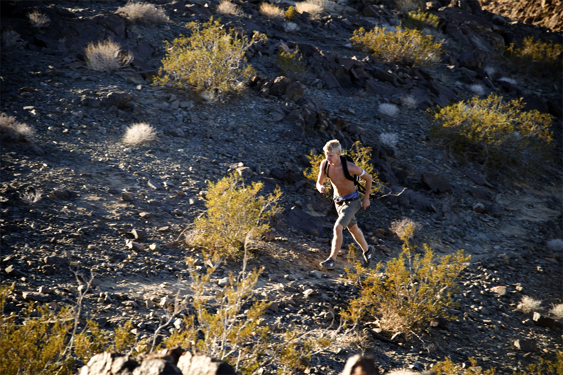
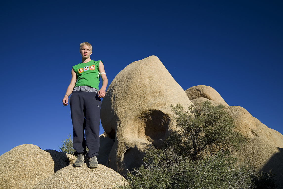
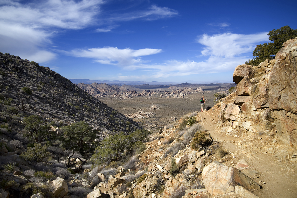
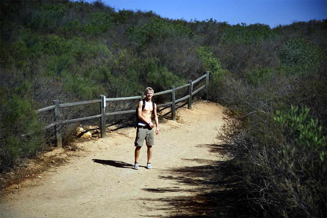
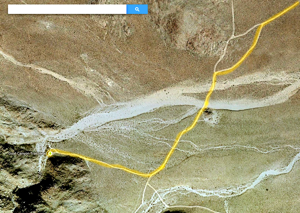
The trip to Torrey Pines State Reserve was on November 16, 2013.
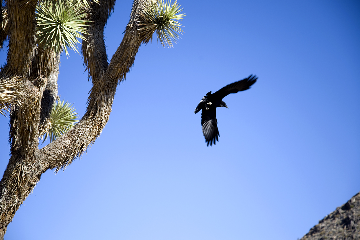
The Torrey Pine is the rarest pine tree in the United States. It is among the rarest pine trees on the planet.

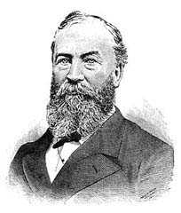
It was named after Princeton Professor Dr. John Torrey who had supervised plant collections being done as a part of the boarder survey 1848-54 in the wake of the Mexican-American War.

The samples from the pine tree were collected by a member of the survey team, botanist and geologist Dr. Charles Parry. He was the first to identify the rarity of the species. He was also the first to recognize how carelessly they were treated, and was the first to call for their protection. If it weren’t for the fact he proposed the name “Pinus Torreyana” himself, we may well be calling it the “Parry Pine” today.

Matth_4alt

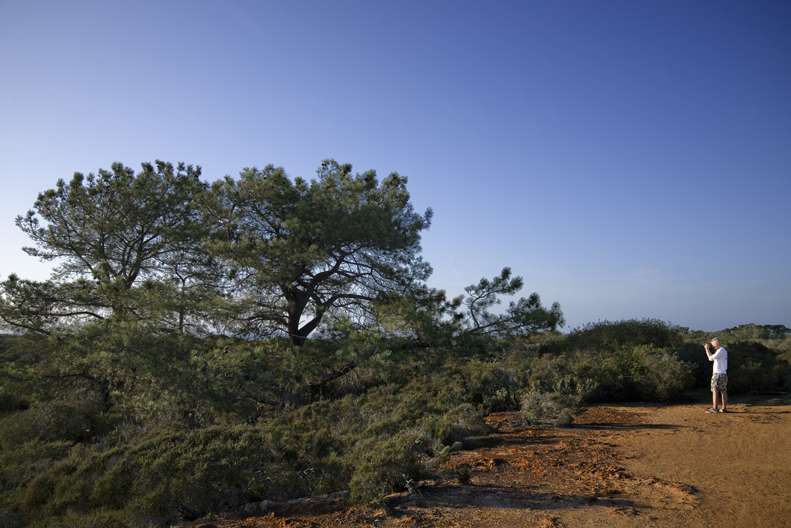
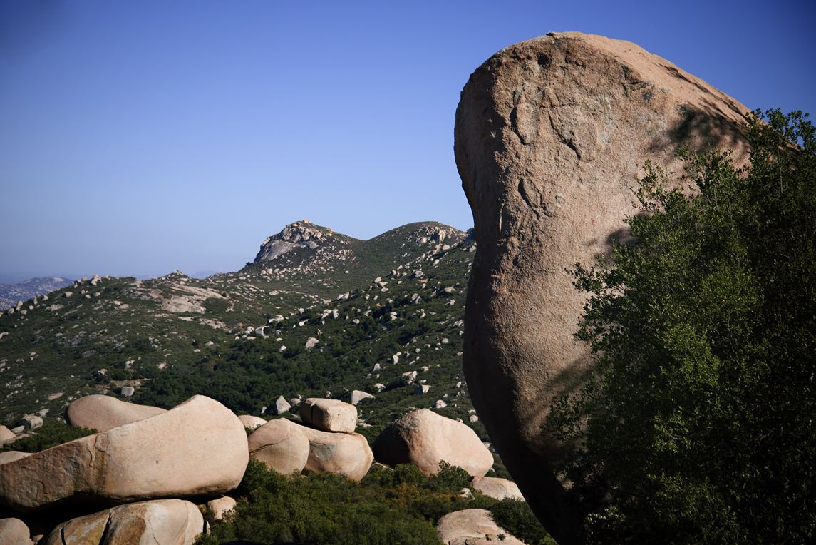
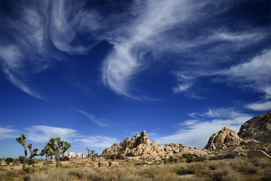
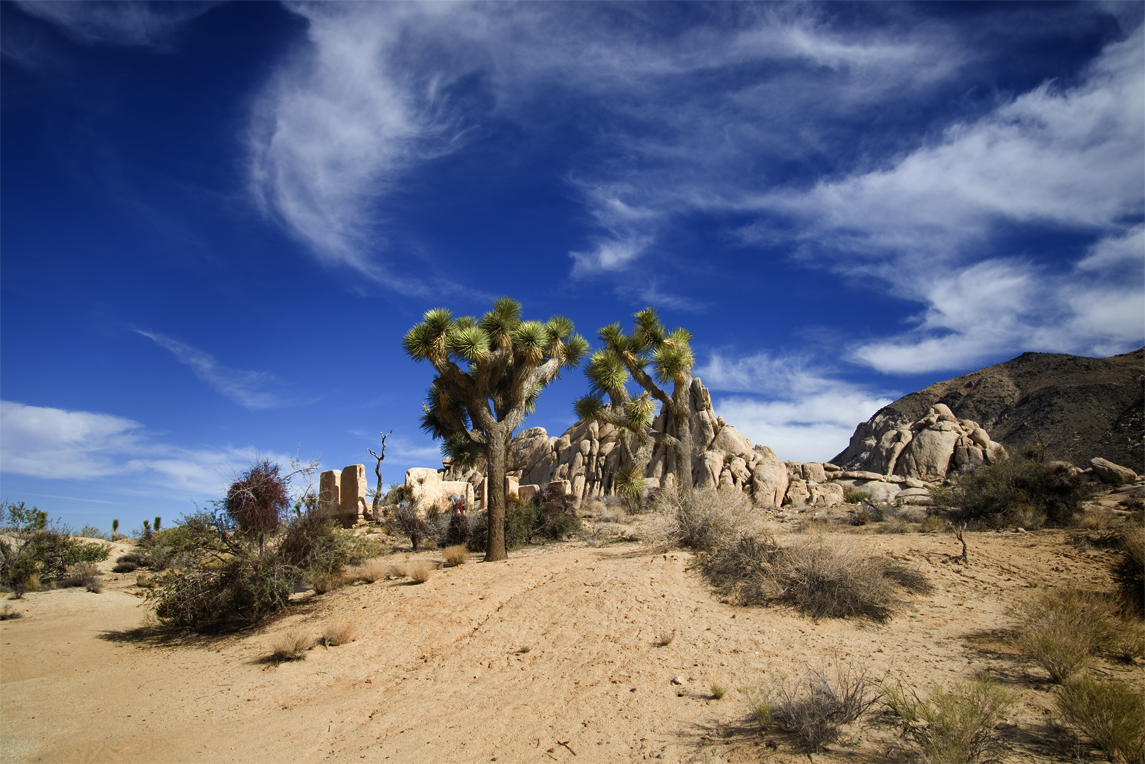
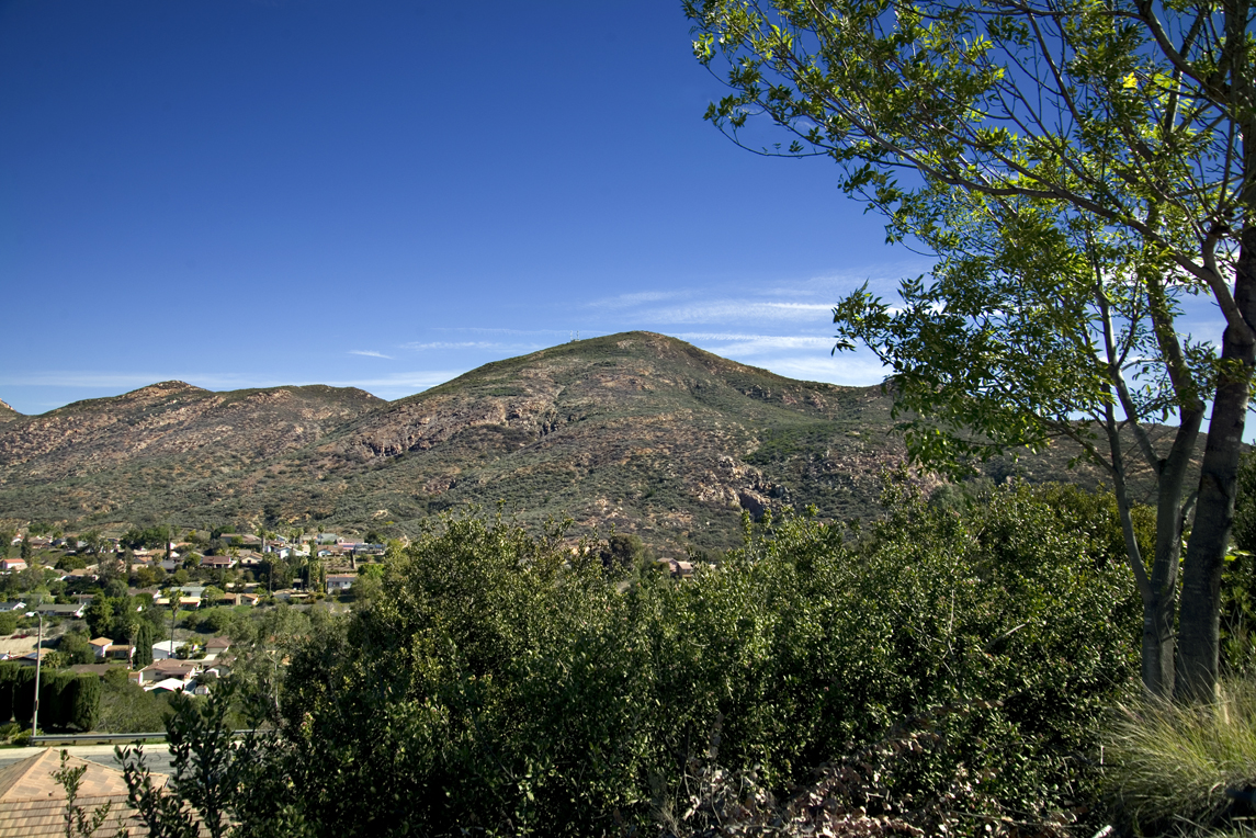
The Torrey Pines of Torrey Pines State Reserve are believed to be remnants of what was once an ancient coastal forest.

TorreyPines_61

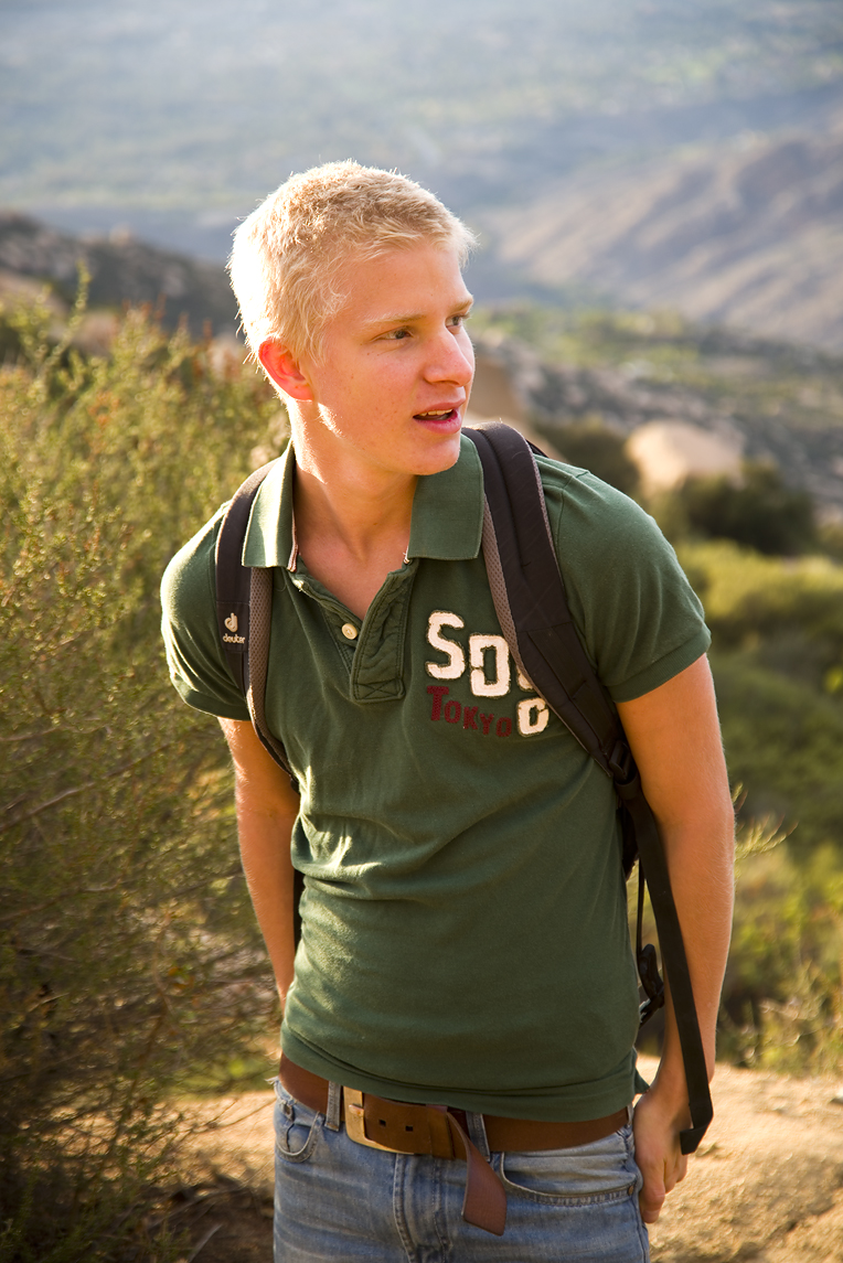
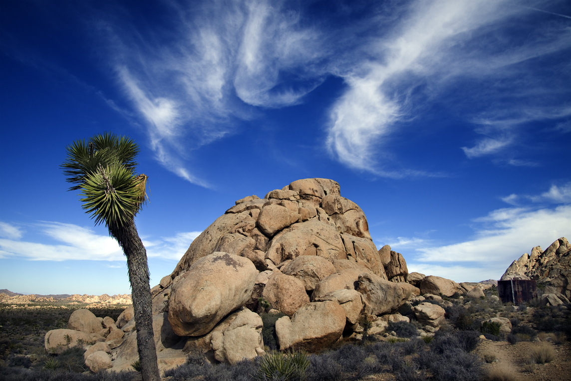
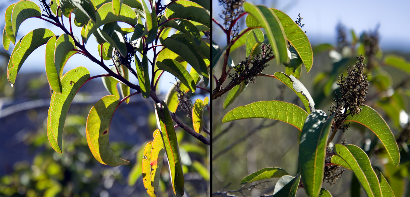
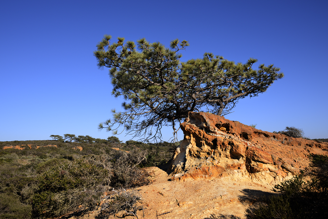
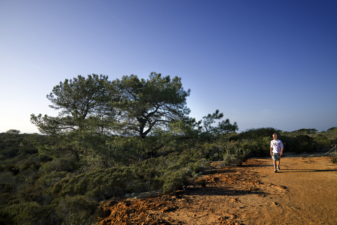
The twisted and gnarled Torrey Pines along the ocean bluffs often lean inland.

TorreyPines_64

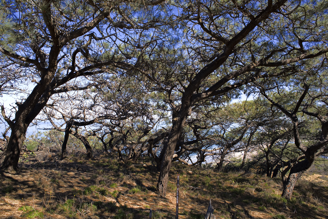
At the most direct interface with the ocean winds, the trees and their twisted branches grow low to the ground from the force of wind and the pruning effect of airborne salt crystals. The tree branches here are only a few inches off the ground.

Torrey Pines_73

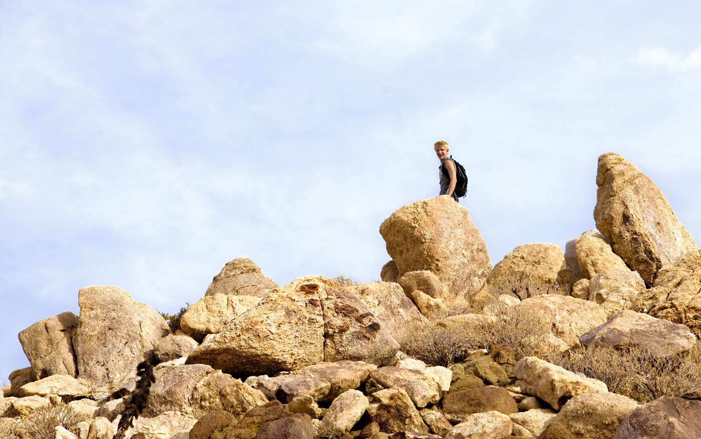
A few steps farther along the trail you see this Torrey Pine tree with branches growing at ground level. The trunk and tree top is pushed upon and completely sculpted by the strong drafts of salt laden ocean air.

Matth_6

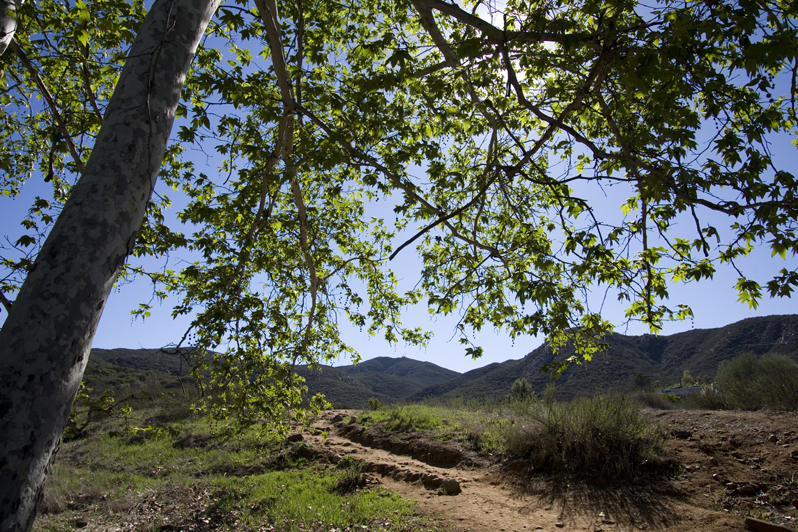
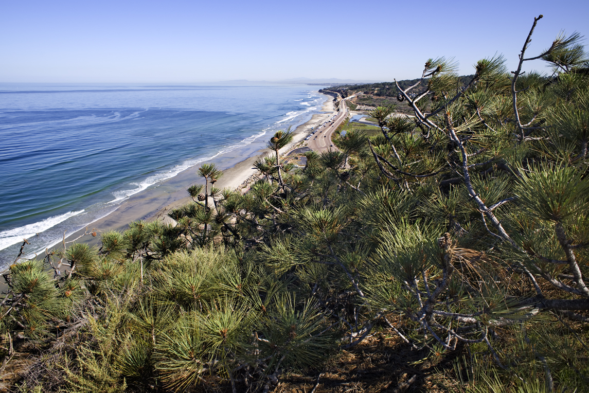
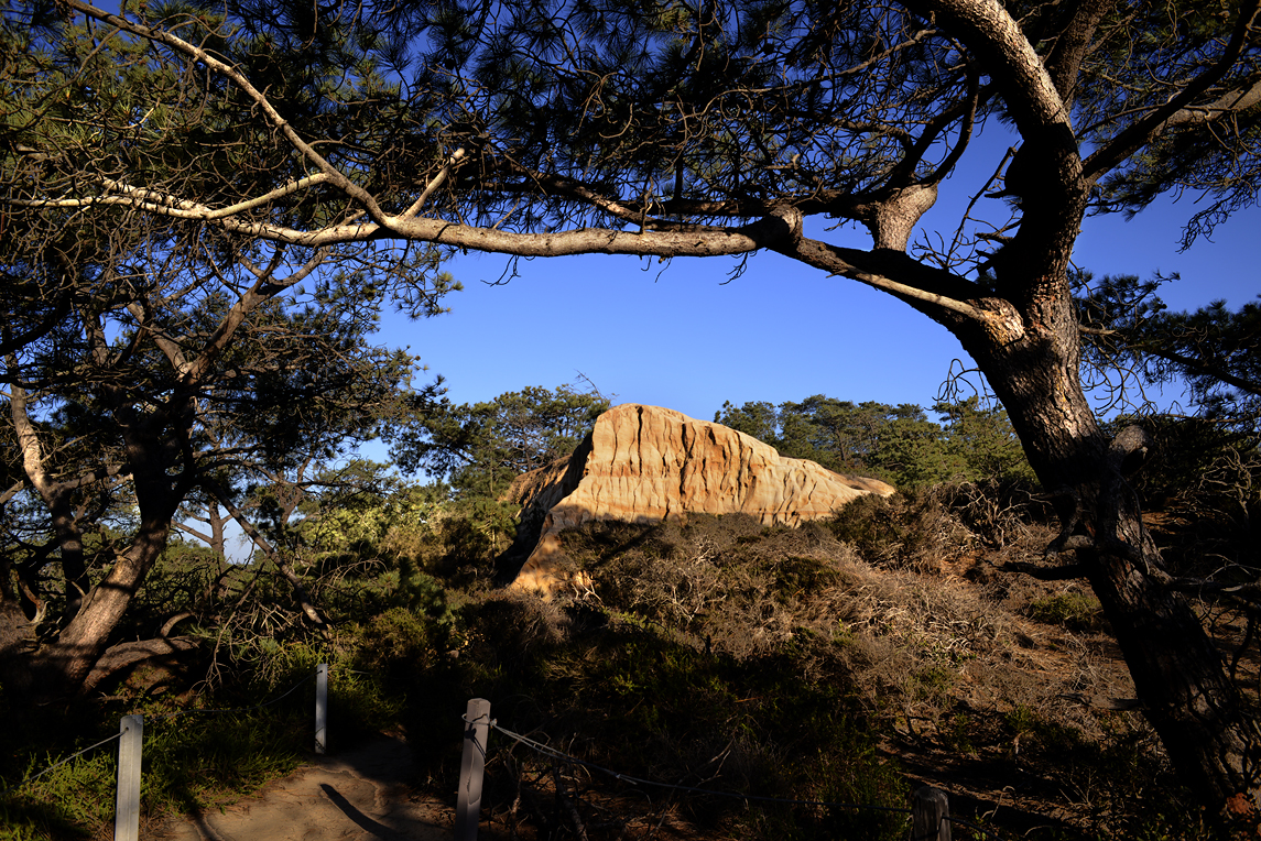
The Torrey Pine grows best in nutrient poor, sandy soils, along sandstone bluffs, canyons and ravines. Coastal fog is of most importance to the survival of this tree.

Torrrey Pines 2960

Coastal Fog acts as an air conditioner, shielding the needles from the hot sun providing most of the tree’s moisture.


ChapparalMarker1

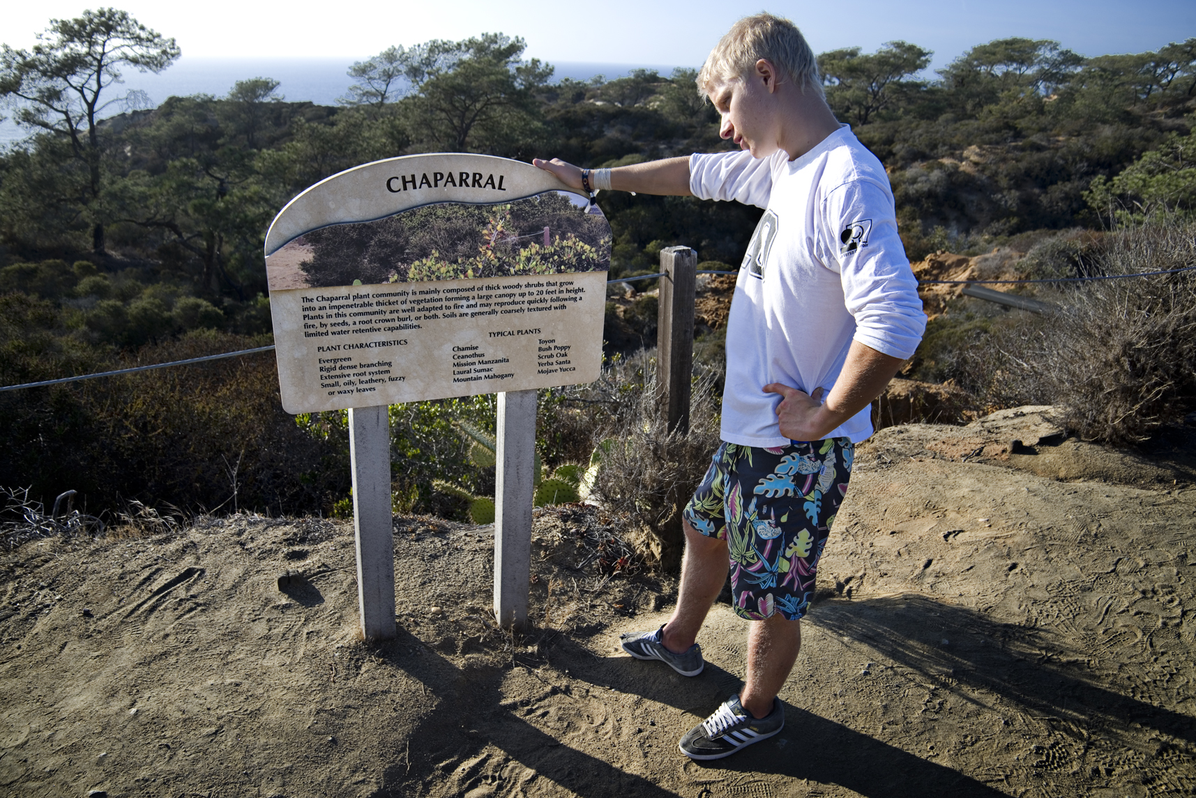
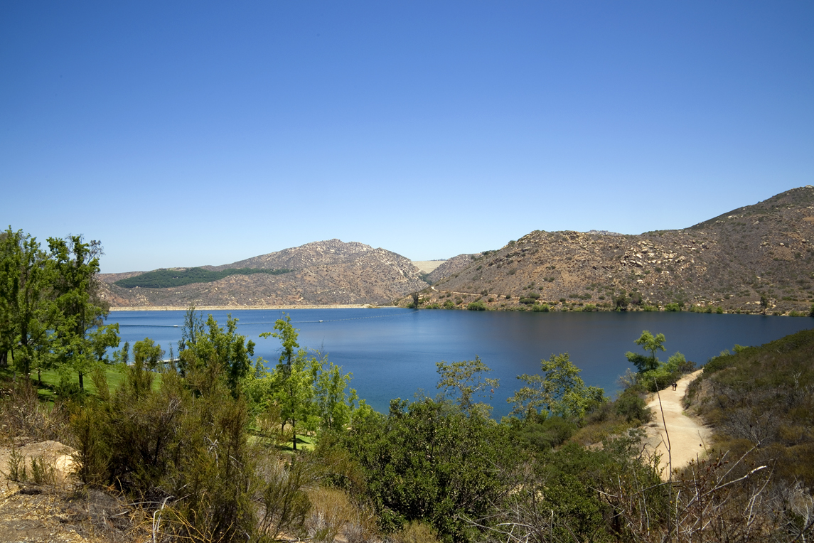
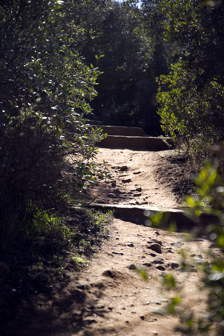
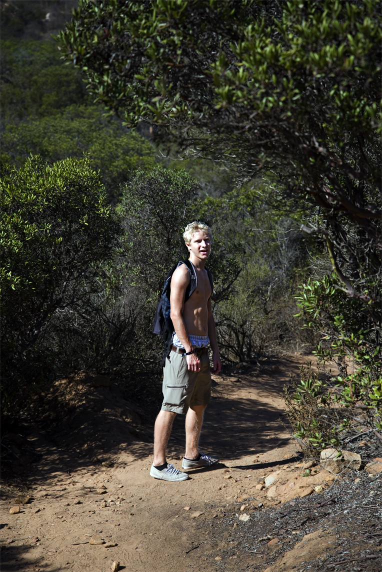
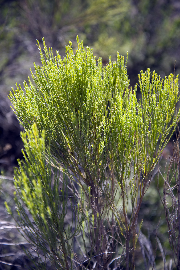
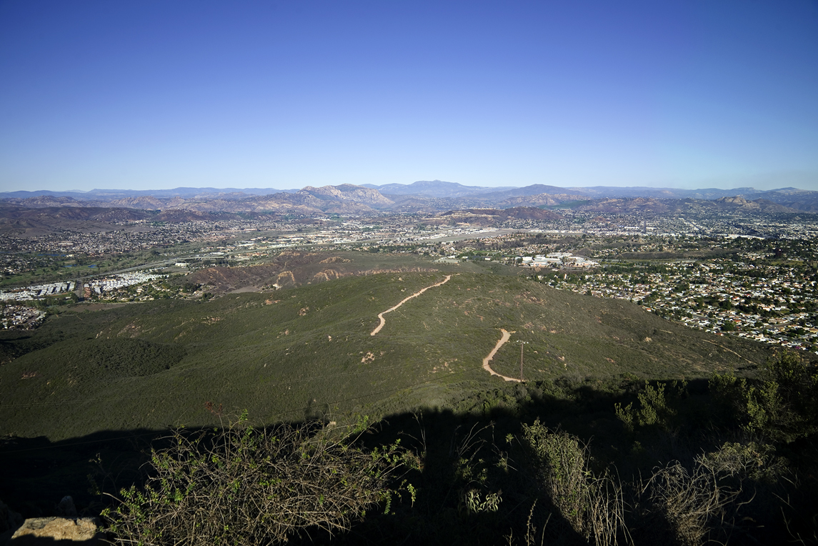
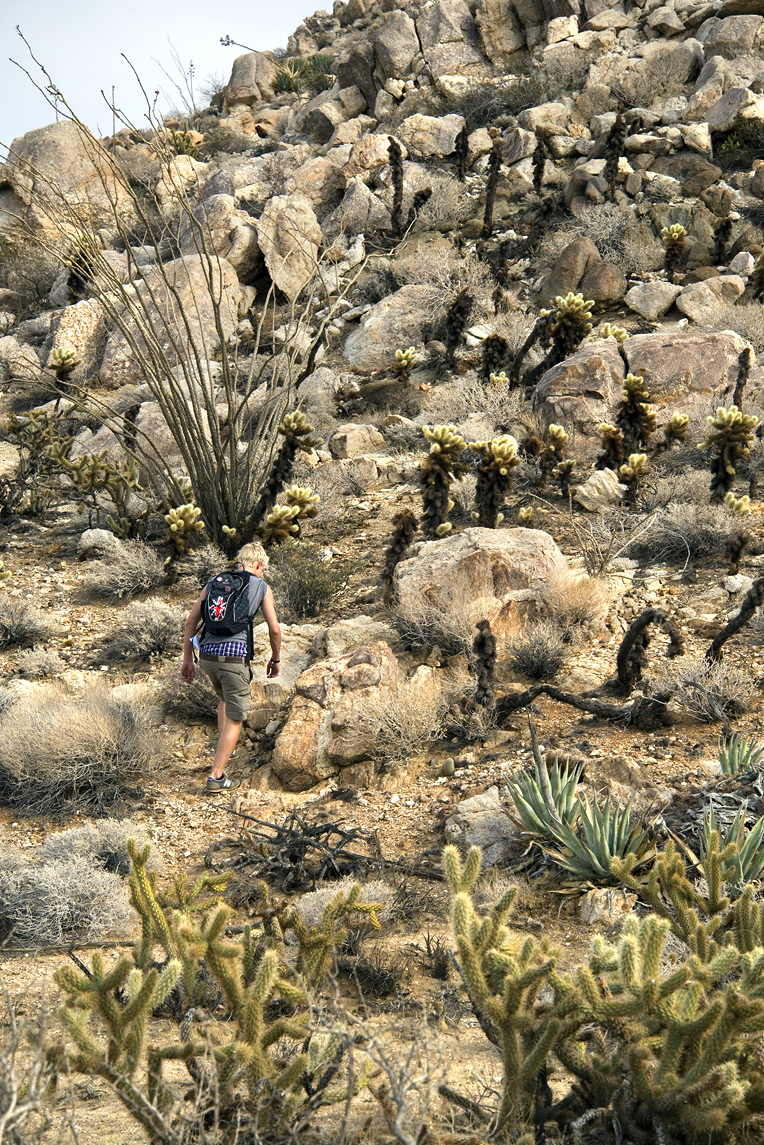
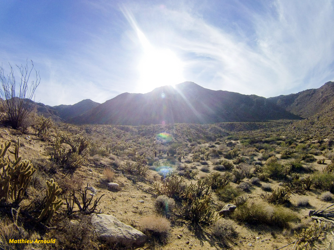
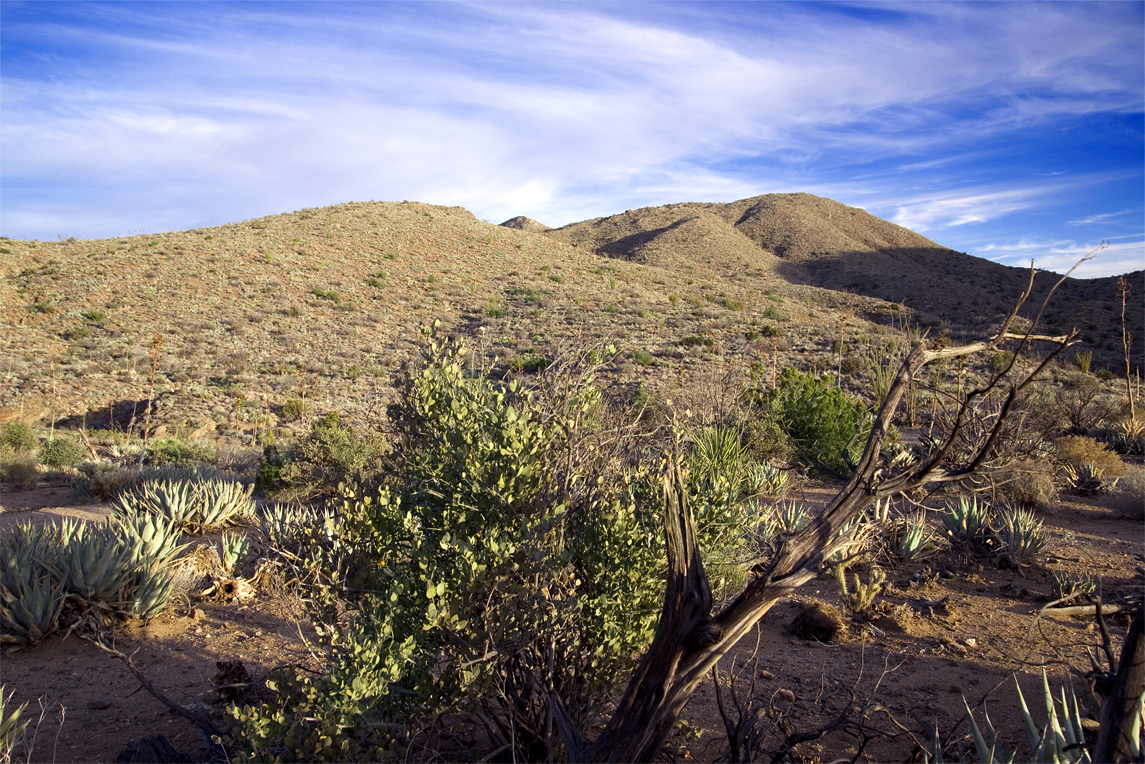
In addition to being a reserve for the very rare Torry Pine, this is a State Park where you’ll find an expansive native plant landscape known as the coastal chaparral.

TorreyPinesModelT

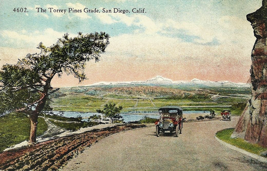
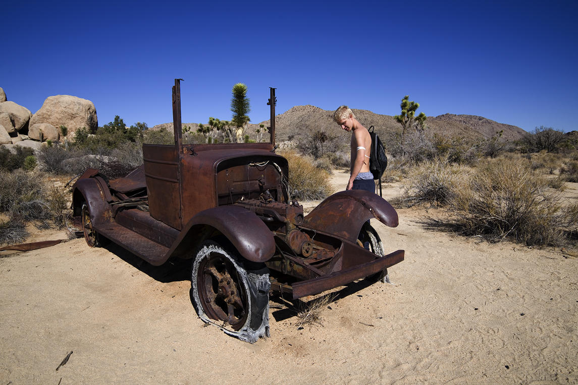
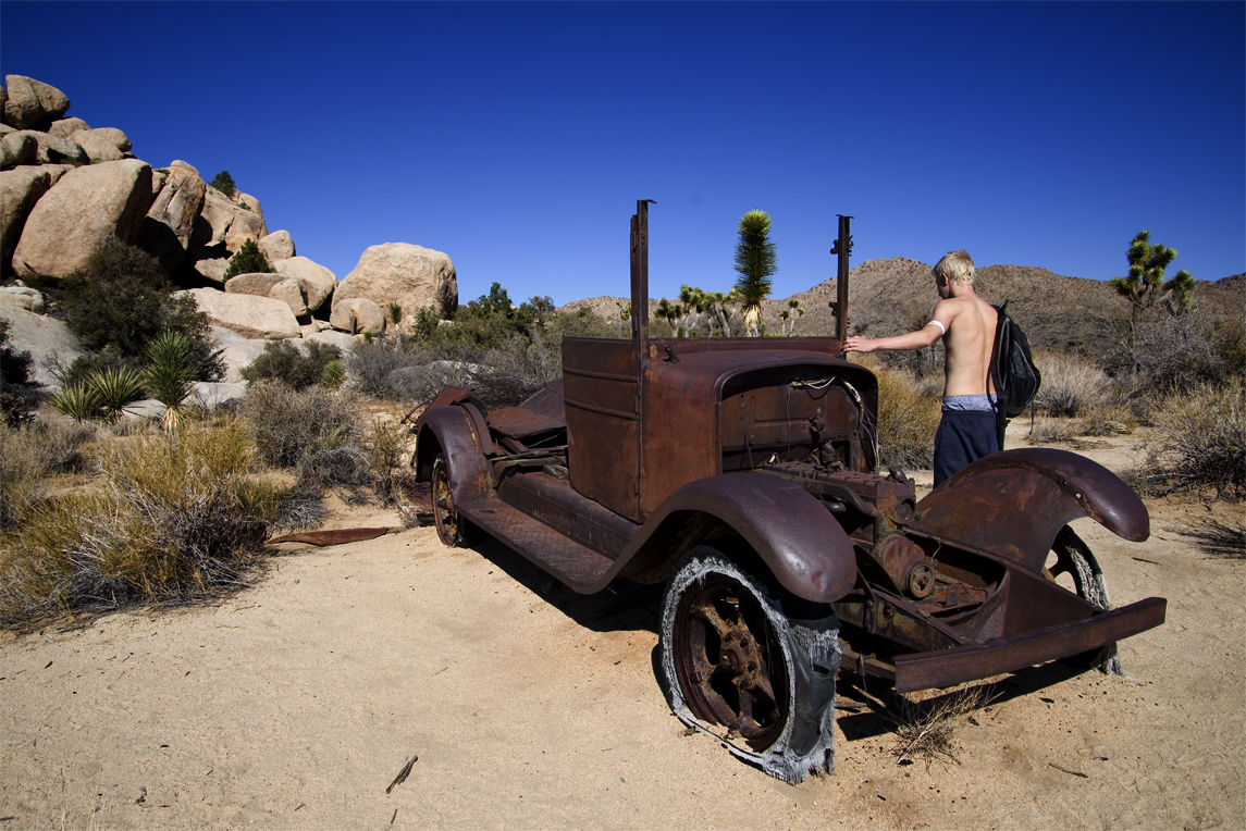
The Torrey Pine and native chaparral landscape became severely threatened by human activity in the 20th Century. The road connecting San Diego and Los Angeles was a dirt grade at first. It cut through the trees, chaparral, and sandstone topography in 1910. Paving was done in 1915.

The model T Ford, before gas pumps where devised, relied on gravity to deliver fuel from the tank to the engine. The steep grade at Torrey Pines required the model T to be driven uphill backwards and in reverse! Apparently the problem of getting gas to the engine while going uphill was solved by the time this postcard was made.

Torrey Pines Road_215

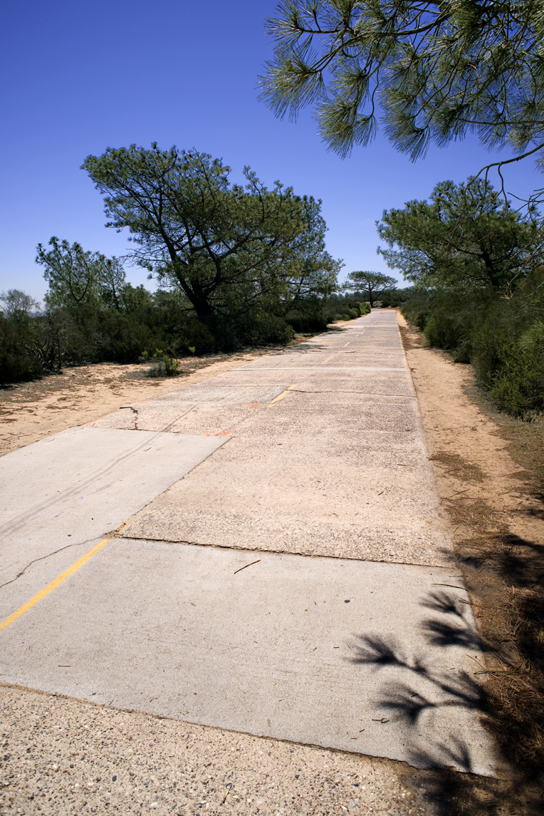
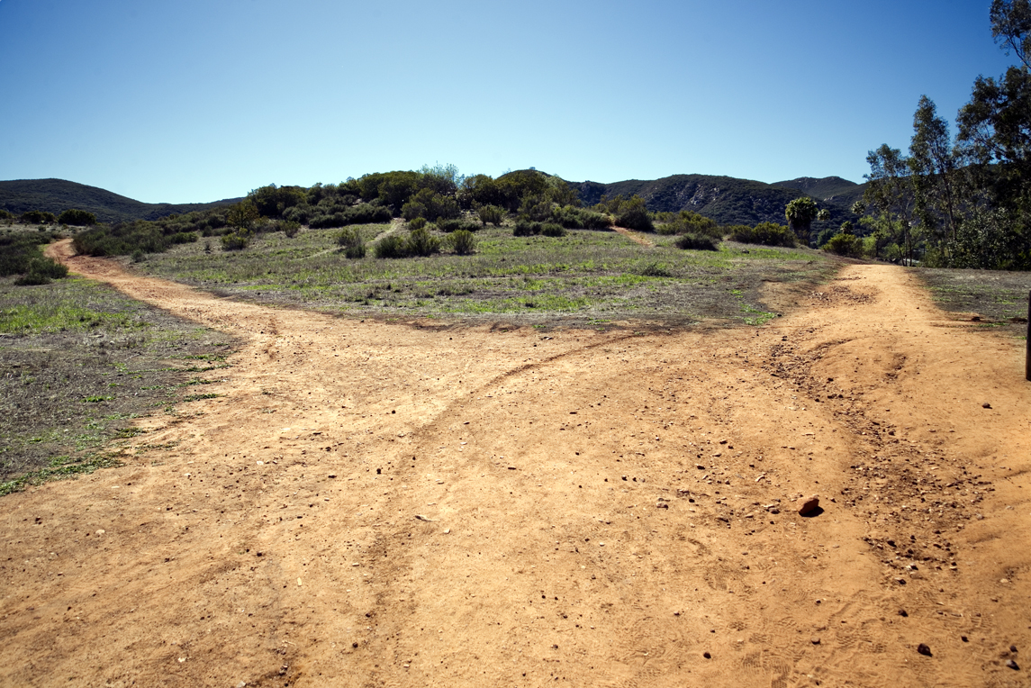
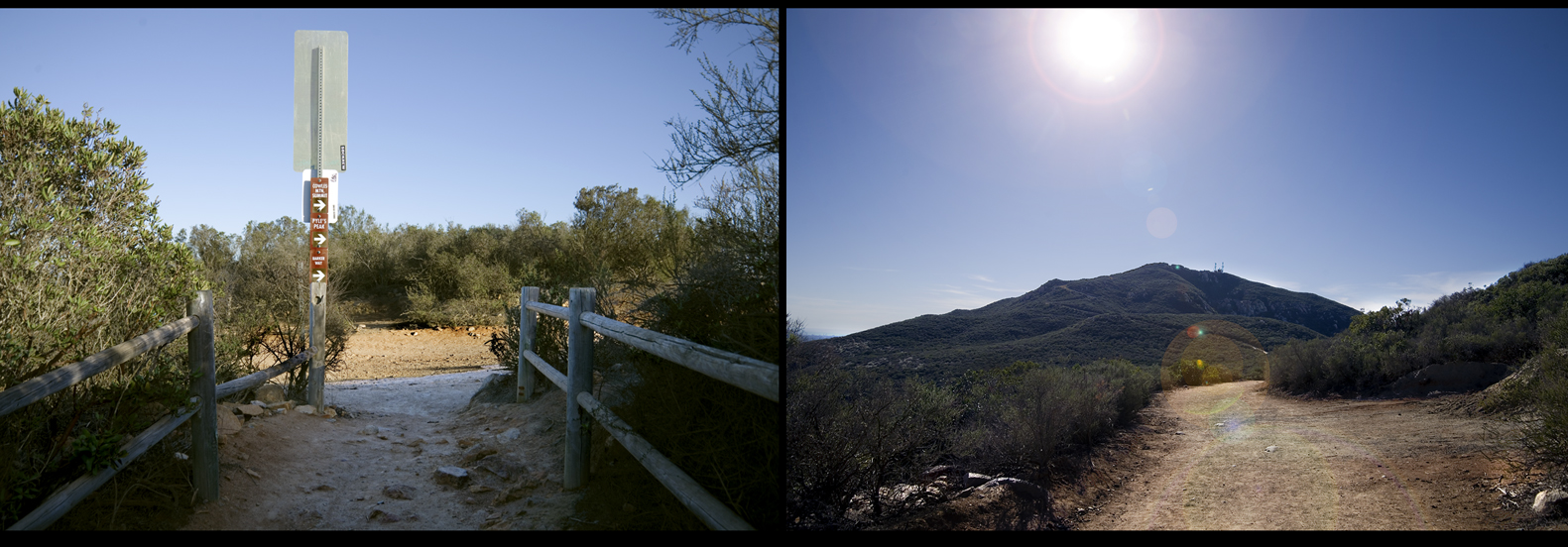
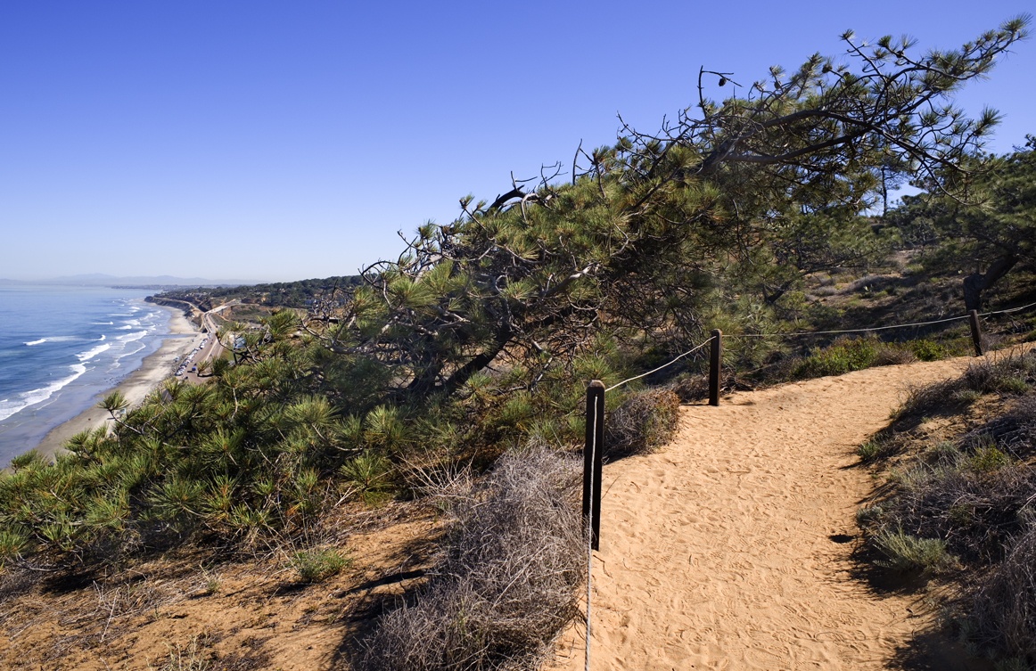
Today the road is lightly used only by vehicles within the park, by pedestrians and bicyclists.

Torrey Pines Grade Today_270

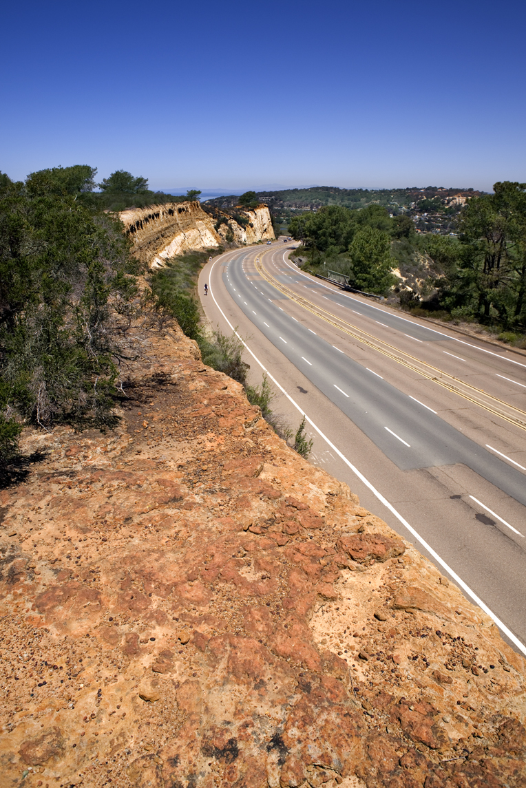
Pacific Coast Highway, the road used today, bypassed the old road inside the park in 1933. The decision to grade the road here was a compromise. The original plan was to regrade the main road through the park itself, digging into the sandstone, chaparral, cutting through the trees and into the cliffs. Horrible!

ellen-scripps_time-Magaine

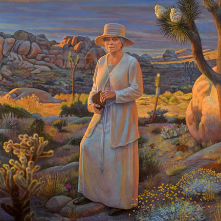
Even before consideration for the road, developers wanted to maul through the densest and best groves of Torrey Pines to build housing and businesses. That is until Ellen Browning Scripps bought up significant tracts of land in 1908, 1911, and 1912 to save this natural wonder. She eventually donated the groves of Torrey Pines to the City of San Diego in 1932. To be “held into perpetuity as a public park,” and requesting “that care be given to preserve the natural beauty of the area.”

TorreyPinesLodgeToday

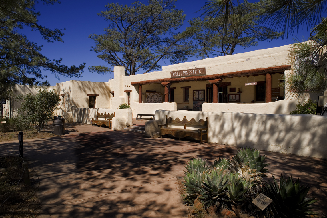
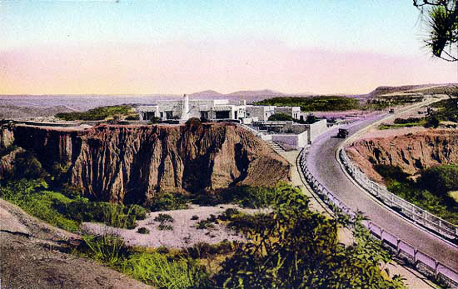
In this modern day, park strategy is to bring awareness and appreciation of a natural or cultural resource through its interpretive center or museum. But originally to connect visitors and travelers to a particular site or destination, a lodge was built. Here is the Torrey Pines Lodge which today is the park’s interpretive center and museum.

TorreyPinesLodgeRendering
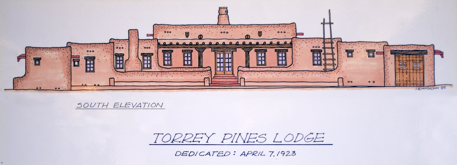
Prior to its opening on April 7, 1923, Ellen Browning Scripps envisioned the lodge as a roadside rest where people would come, relax, and learn more about the Torrey Pine trees. She took care to commission a design that would blend and be very kind to its environment. The site selected for the lodge was a treeless sandy bluff. She hired San Diego master architects Requa and Jackson to design the adobe Hopi Pueblo style structure.

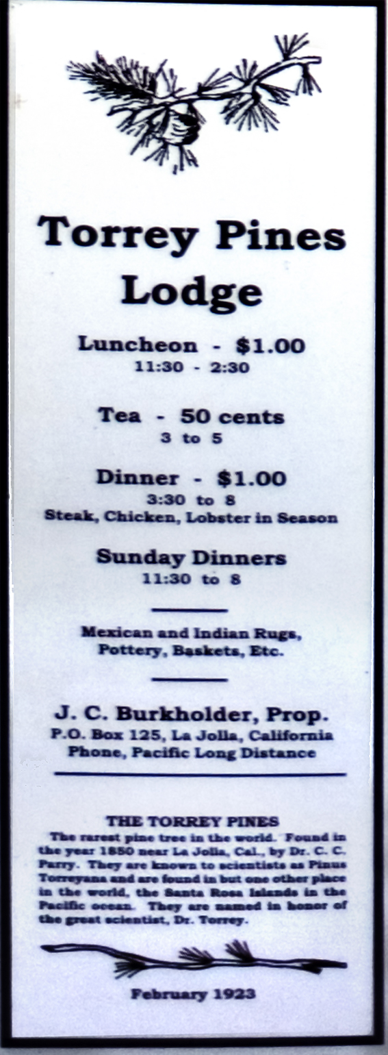
The lodge concept included having a restaurant – which proved to be very successful. The goal was to serve sought after meals at reasonable prices.

Torrey Pines Lodge Restaurant

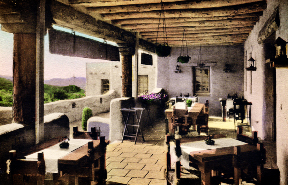
The lodge’s front veranda was renown as a delightful and relaxing dining area.

TorreyPinesLodgeMenu

torreylodge as Smart Object-1

The road was known then as the Theodore Roosevelt Memorial Highway. As mentioned earlier, this road is now closed to through traffic.

Matth_8

Human presence and particularly land development has an environmental impact even under normal circumstances. But especially so when rare plant species are present. In the 20th Century the number of Torrey Pines trees in existence dwindled to a only a couple thousand. Although this pine tree does drop cones with seeds, having one sprout is rare. And then odds are against that sprout growing into a mature tree.

CampCallanPostcard

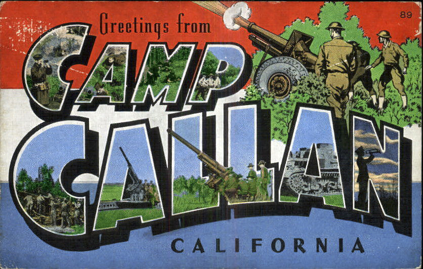
One of the most severe impacts to Torrey Pines was during World War II when the reserve was turned into an army base. There was training, drills, marches, jeep trails throughout the grounds, bluffs, and cliffs of the Torrey Pines site.

CampCallanEntrance

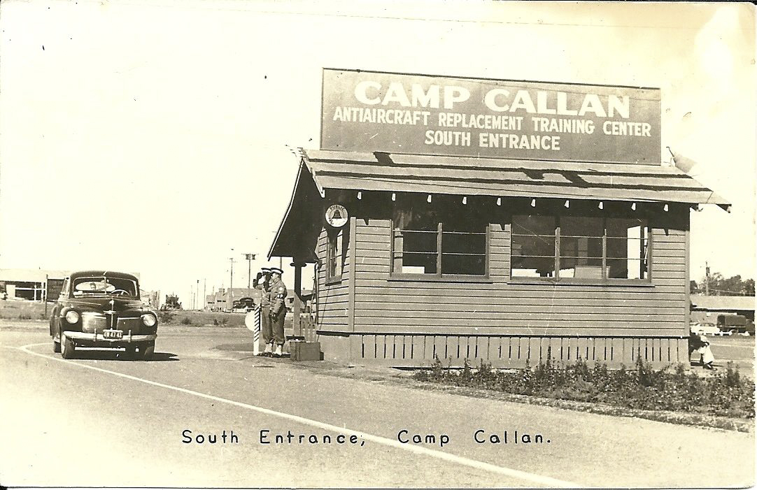
The South Entrance was beyond the Torrey Pines grade, past the Torrey Pines Lodge, and across the mesa.

CampCallanWaterTower
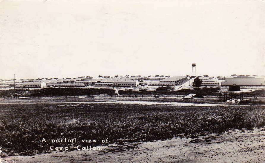
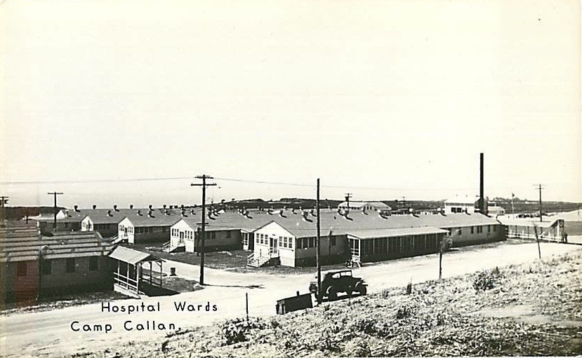
By 1942, the post had over 297 buildings, covering 1282 acres, had 5 post exchanges, 3 theaters and 5 chapels. About 15,000 men went through a 13 week training cycle with a strong emphasis on modern coast artillery and anti-aircraft defense weapons.

CampCallanHospitalWard

The base was shut down on November 1, 1945. The built environment of the base was declared surplus. Buildings were moved or dismantled and recycled into new housing elsewhere in San Diego. A large portion of the former base eventually became Torrey Pines Golf Course. This photo may well be a view of an area that would become the 16th hole of the famous Torrey Pines Golf Course.

Torrey Pines Golf Course 16th Tee_240 as Smart Object-1

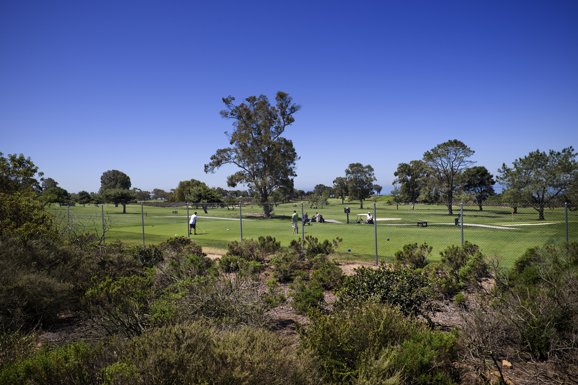
Where the chaparral ends and the 16th hole of the Torrey Pines Golf Course begins.

kc_tue327956x007_r940x635

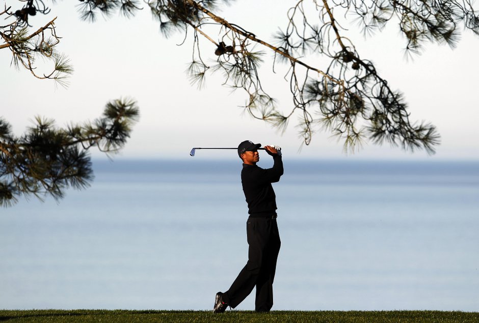
Image Source Alfred/San Diego UT

Tiger Woods enjoys great success at Torrey Pines, having won several tournaments here including the major U.S. Open.

But Torrey Pines Golf Course wasn’t the first use of this land after Camp Callan closed. Just after the Army camp closed, it became the Torrey Pines Road Race track.

Torrey Pines Sports Car Races

It was a 2.7 mile circuit over roads paved for Camp Callan. At that time in San Diego automobile racing was a relatively new, amateur sport. Anyone could race any car. Cars were separated into classes by engine size.

Ferraris, Jaguars, and Austin Healeys roared over the mesa at nine race events from December 1951 until 1955. The most famous turn was called Ocean Corner, where drivers headed downhill towards the ocean, facing a sharp right turn just before the edge of the cliff.

The races proved very popular. City planners had proposed a combined golf course and race track – including a 20,000 seat grandstand. But there wasn’t enough city funds at the time for such a scheme. And likely City Council wasn’t on board with the idea either. Building only a golf course had more support.

TorreyPInes_161

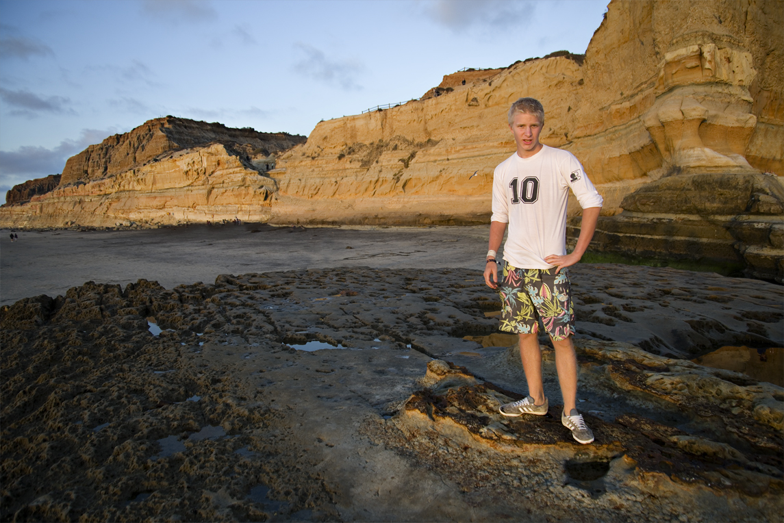
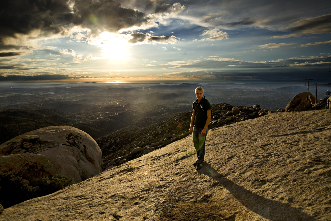
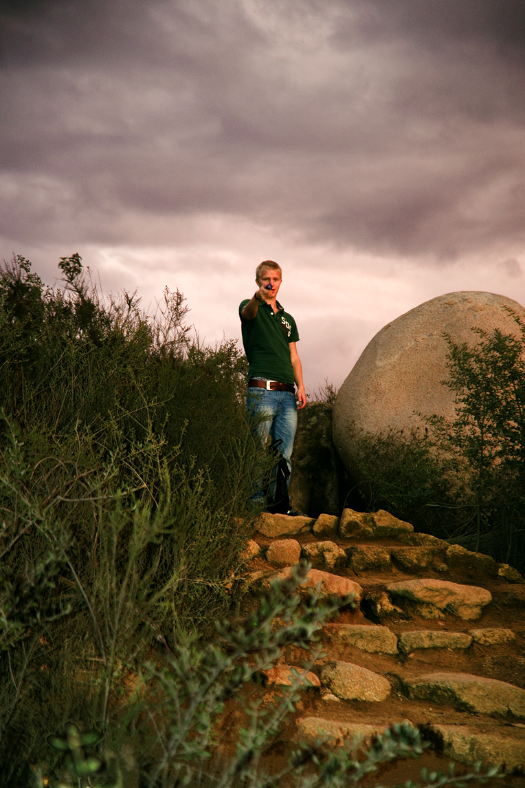
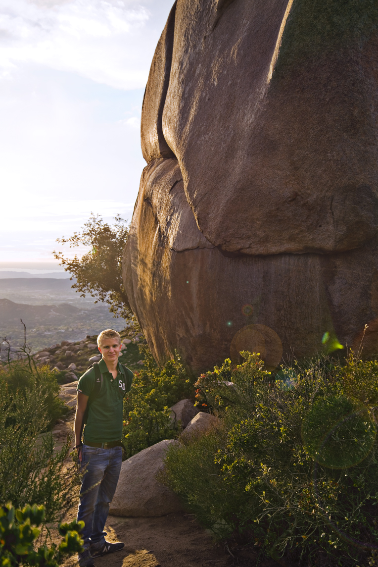
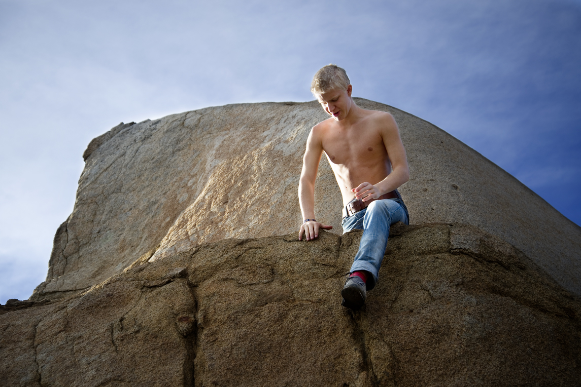
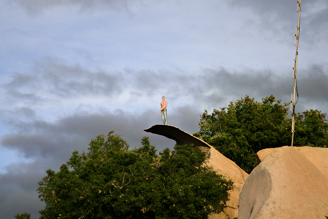
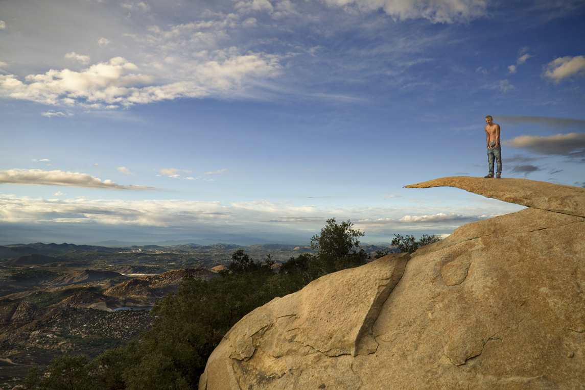
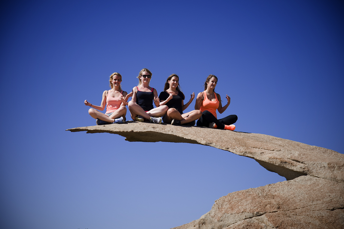
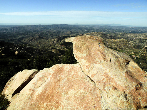
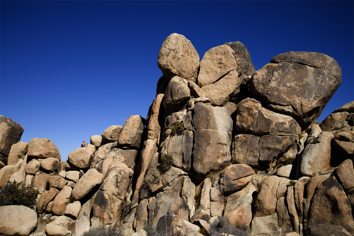
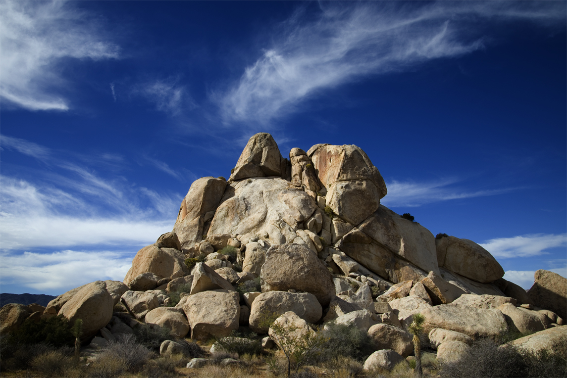
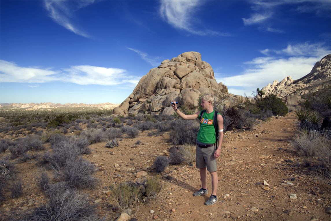
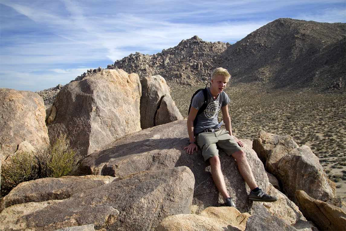
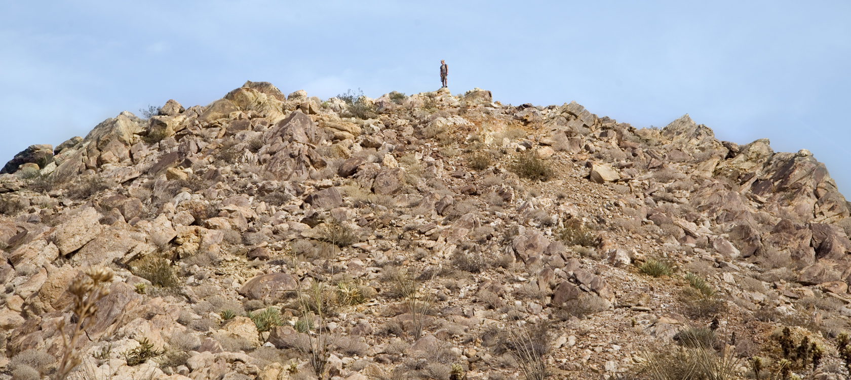
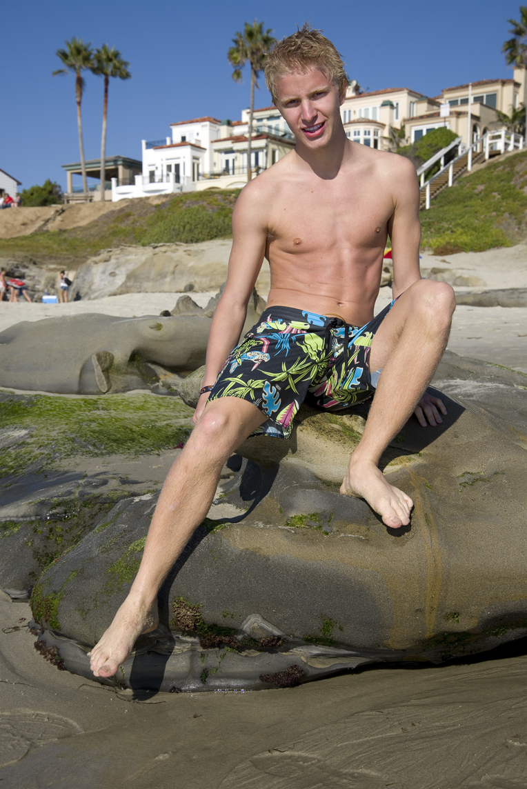
Matth is standing on a rock that is more than 45 million years old. It’s called “Flat Rock.” There were even grand plans for this once. On this ancient formation is a 4 x 5 foot cut out. It was made to try and reach a coal vein that was known to exist beneath the ocean.

Flat Rock 2908

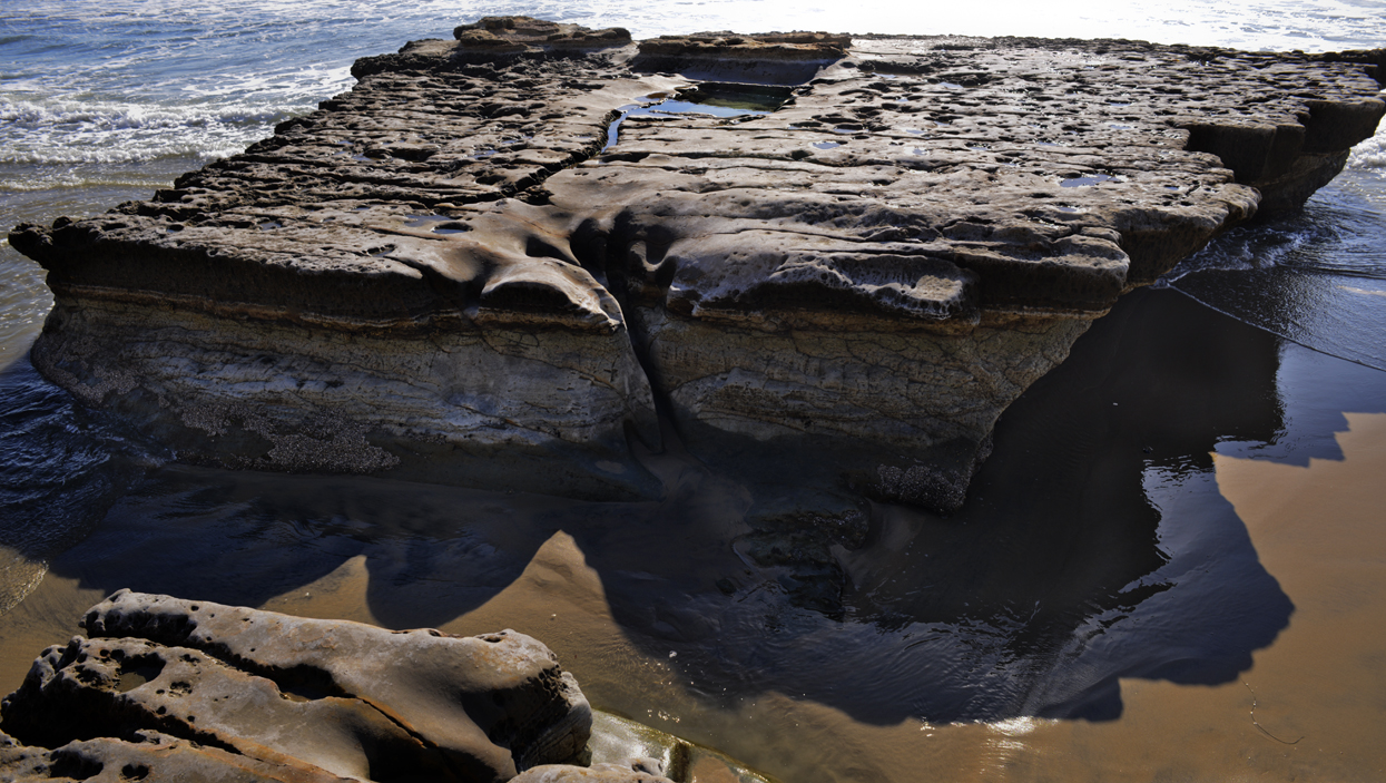
It was in the late 19th century that a would be coal miner named William Bloodsworth tried to sink a mineshaft into “Flat Rock.” Ultimately the unrelenting waves and high tides stopped the digging operation after about 15 feet. The mineshaft has long since filled with sand and rocks, but the 4 x 5 foot cut out can still be seen and forms a shallow pool.

Jump!-1

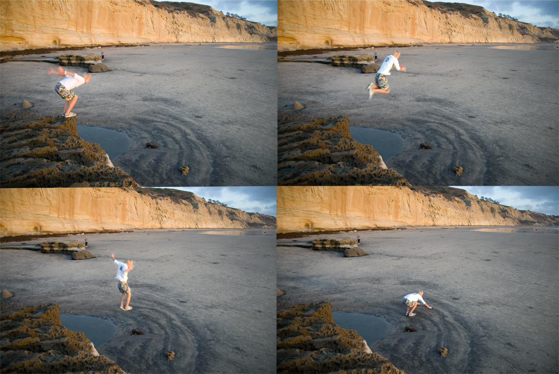
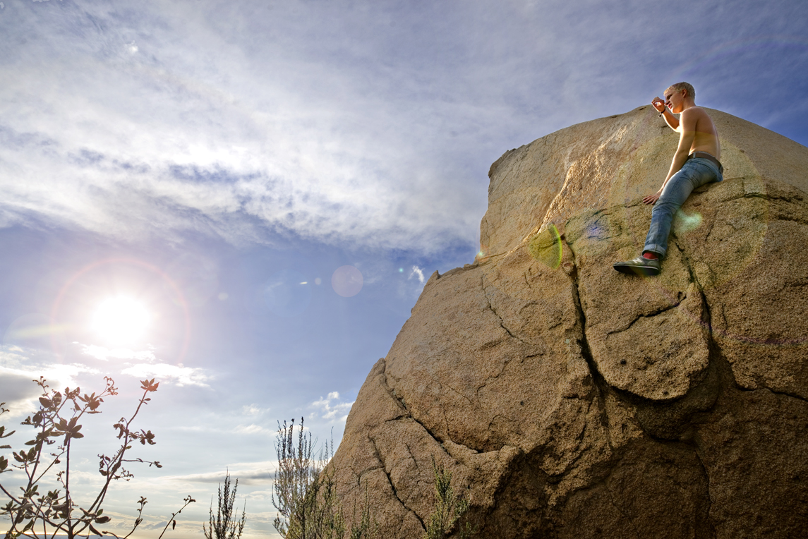
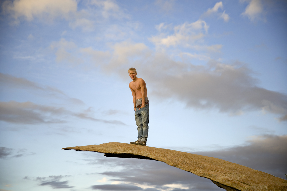
Jumping from “Flat Rock.”

Torrey Pines Beach_10

The colors of the photogenic sandstone cliffs are most intense around sunset.

Torrey Pines Beach 2892

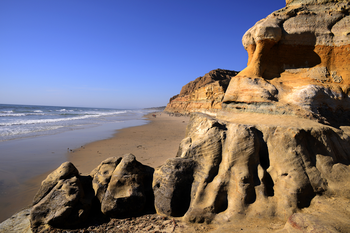
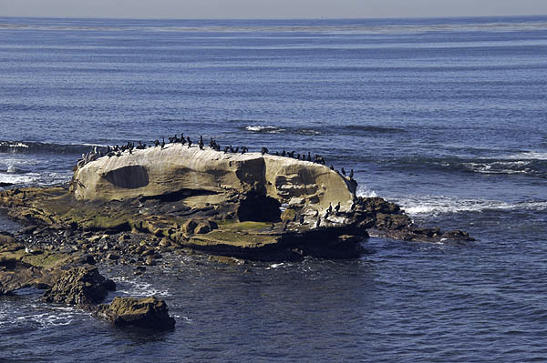
A view of Torrey Pines State Beach looking north from about where “Flat Rock” is located.

Torrey Pines2909

Torrey Pines 2910

Torrey Pines 2872a;t

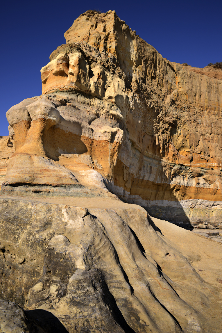
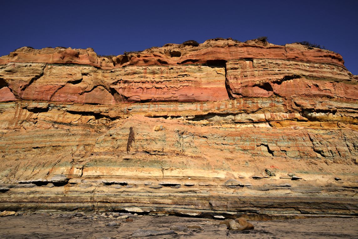
Each layer is a history lesson. The bottom greenish layers of fine grained siltstone goes back more than 45 million years. Its abundant oyster shell fossils indicate there was once a warm water lagoon here.

Above that the layer of cobblestones. they were originally formed volcanically in Sonoran Mexico and transported to the coast by river 45 million years ago. However this section of coast became separated from the ancient river mouth by some 200 miles via movement of the Pacific Tectonic Plate.

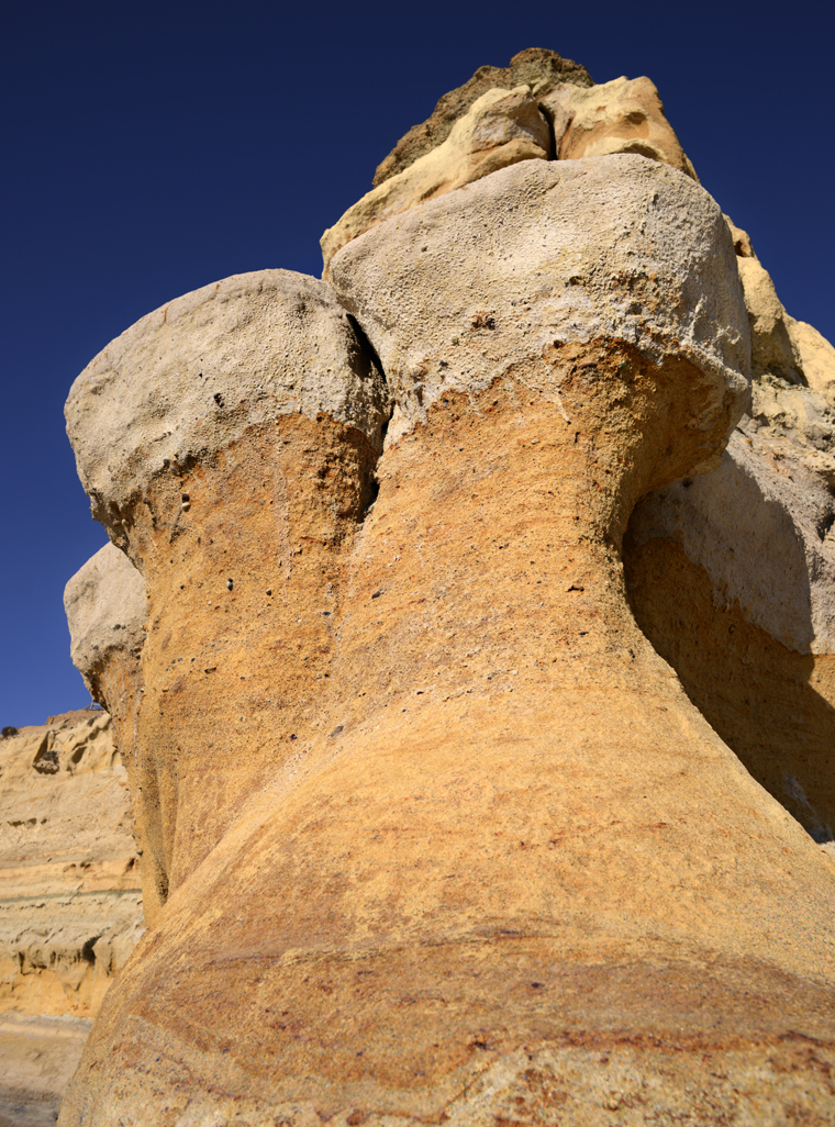
Further up is Torrey Sandstone. A light colored sandstone that was once part of a tidal flat. As sea levels rose, the sands were buried and cemented by calcite. Cross bedding (layers that alternate directions) shows shifting channels and alternating flood and ebb tide flows. See the next photo illustrating the cross cutting pattern found in Torrey Sandstone.

Some layers are missing. Formations between 1 million and 45 million years ago got washed away, leaving a gap in the history being told here.

The most recent sandstone layers go back one million years. They were cemented by iron oxides imparting the reddish color and relative hardness. The most visible capstone is Red Butte.
Torrey Pines_2855

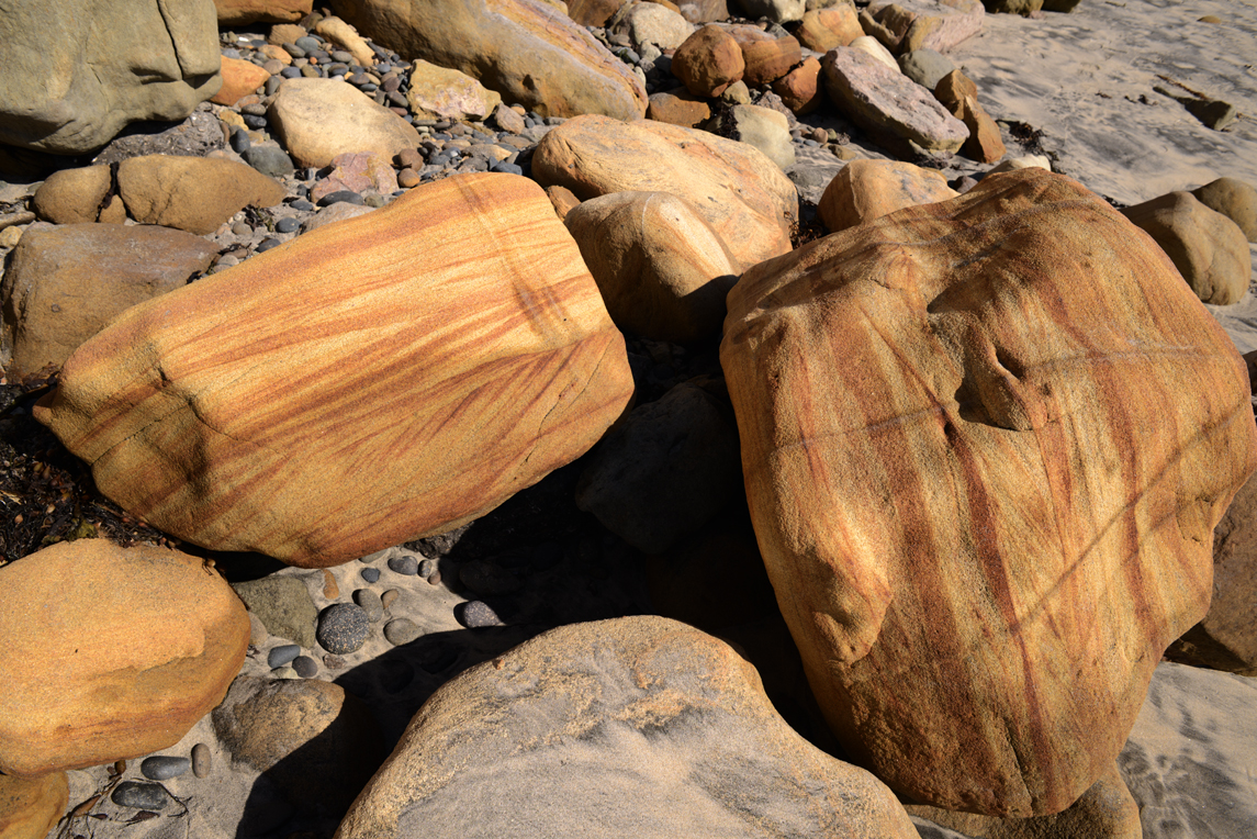
Boulders come a tumblin’ down! Examples of the cross hatched Torrey Sandstone dislodged from the cliffs.

Torrey Pines_40

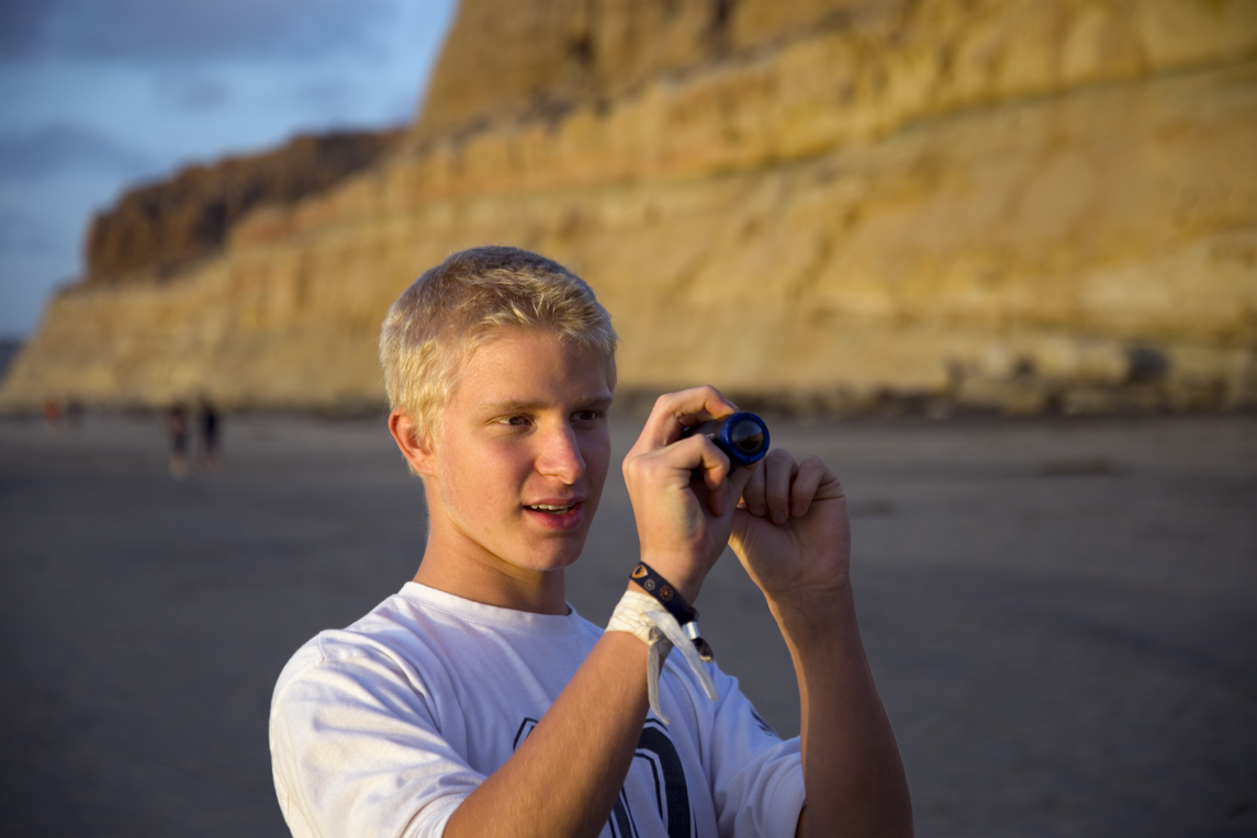
Matth with a small sample of Bull Kelp at the end of its growing season.

Bull Kelp Facts

1. Bull kelp along San Diego’s coastal ocean is an annual plant that grows offshore entirely in one season, spring to fall. It can grow up to 2 feet in one day alone. It can grow to a total length of up to 80 ft. The blades can grow up to 10 ft long.

2. Bull kelp is the largest form of brown algae. It has a large bulb on the end of a long tail called a stipe. It is attached to the sea floor by it’s roots
called a hold-fast. Attached to the bulb are long flowing blades of kelp.

3. The bulbous float at the end of the kelp is filled with up to 10% carbon monoxide gas. The gas filled bulb floats on the surface of the ocean
allowing the plant to get the sunlight it needs.

4. Bull kelp grow in “forests” along the rocky shelves of ocean headlands. They help reduce the effects of corrosion as well as warn boaters of
shallow reefs.

5. They are a unique biosphere that shelter many species of fish, shellfish and jellies. They are a great feeding ground for seals.

6. Bull kelp has many names including; bull whip kelp, ribbon kelp, giant kelp, horsetail kelp and sea otter’s cabbage.

7. Kelp extracts are used as a thickener in products such as salad dressing, ice cream, hand lotion and paint.

8. Bull kelp is often used to make sushi. There are recipes for Bull Kelp salad and soup etc. It is very nutritious.

9. As the bull kelp dies in the winter and washes up on beaches it serves a useful purpose as a source of food and shelter for sand crabs, beach fleas
and periwinkles.

10. First Nations people used dried kelp stipe to make fishing lines.


Torrey Pines_34

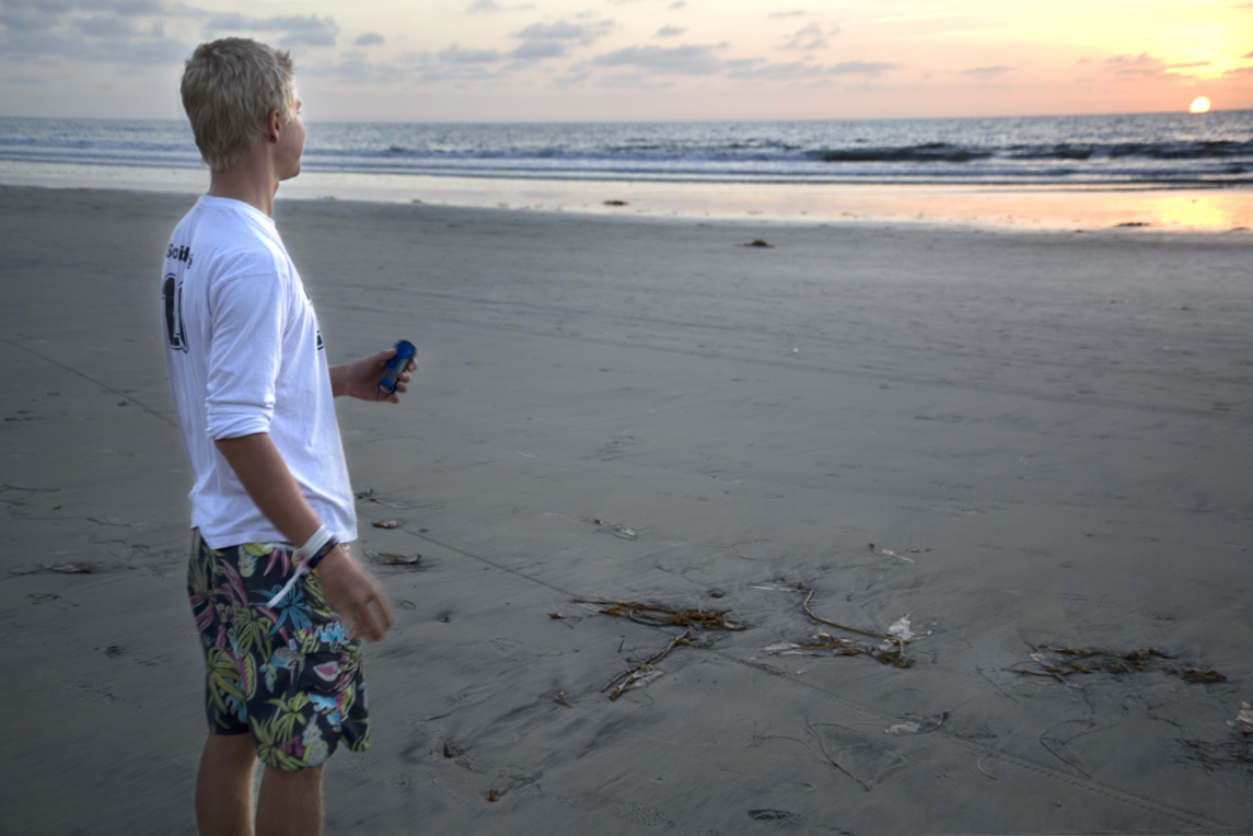
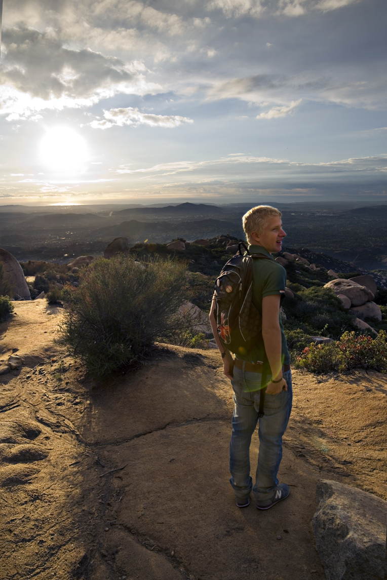
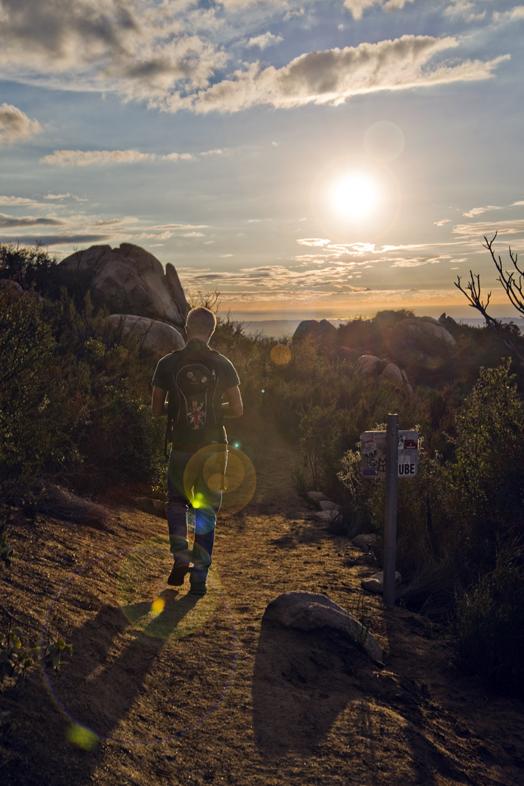
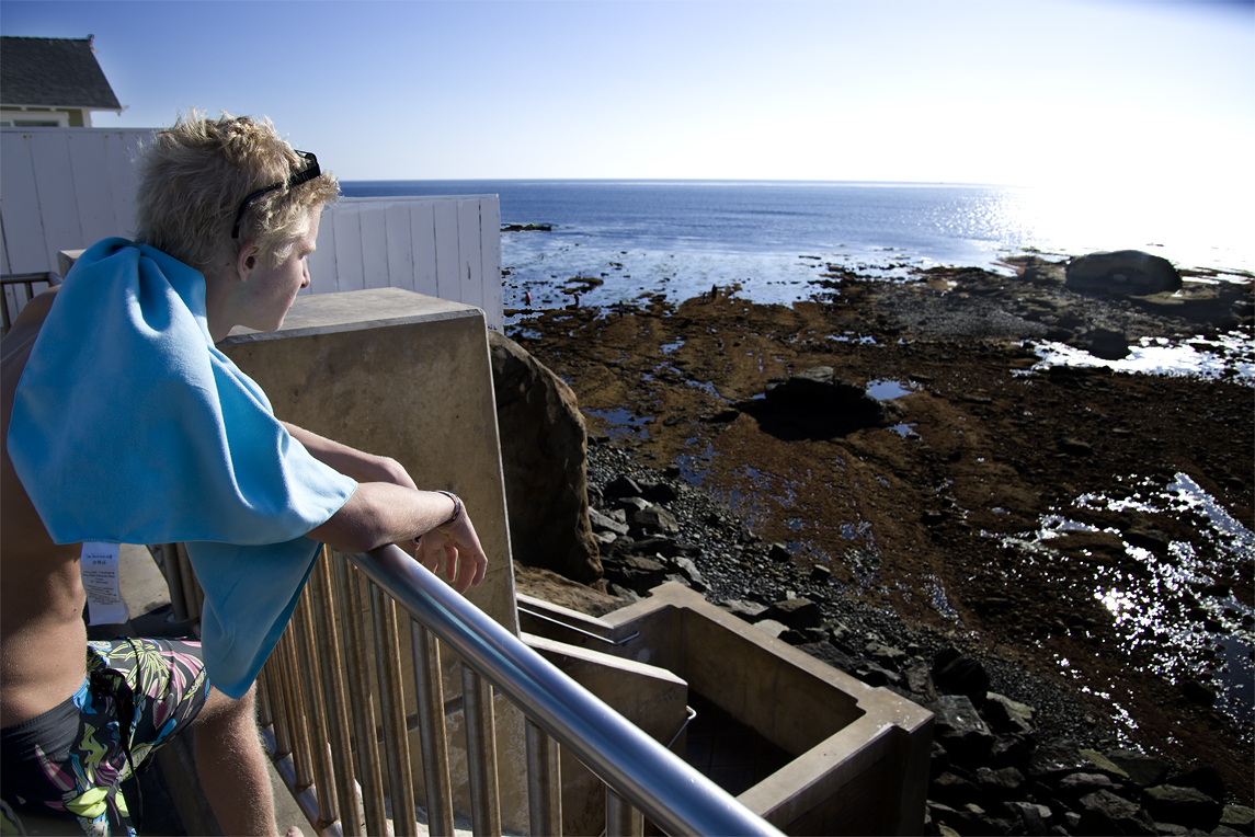
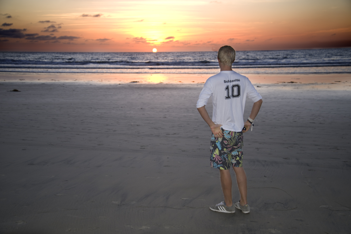
Finishing the tour of Torrey Pines State reserve with a relaxing observation of the sun setting in the Pacific Ocean.

Torrey Pines_32

The good news about Torrey Pines is that the area is now protected. No more Army camps, race tracks or mine shafts. The number of the rare trees has stopped shrinking. There is finally an increase in their numbers.

Torrey Pines_33

TorreyPines_43

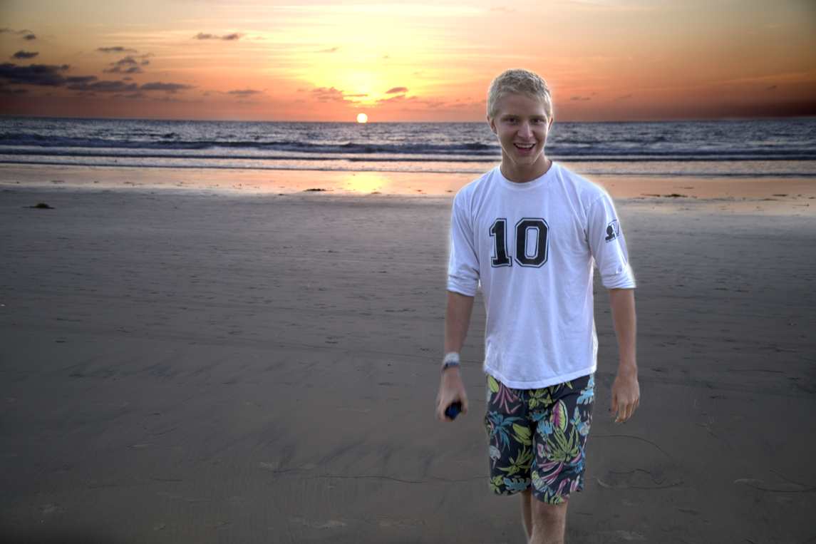
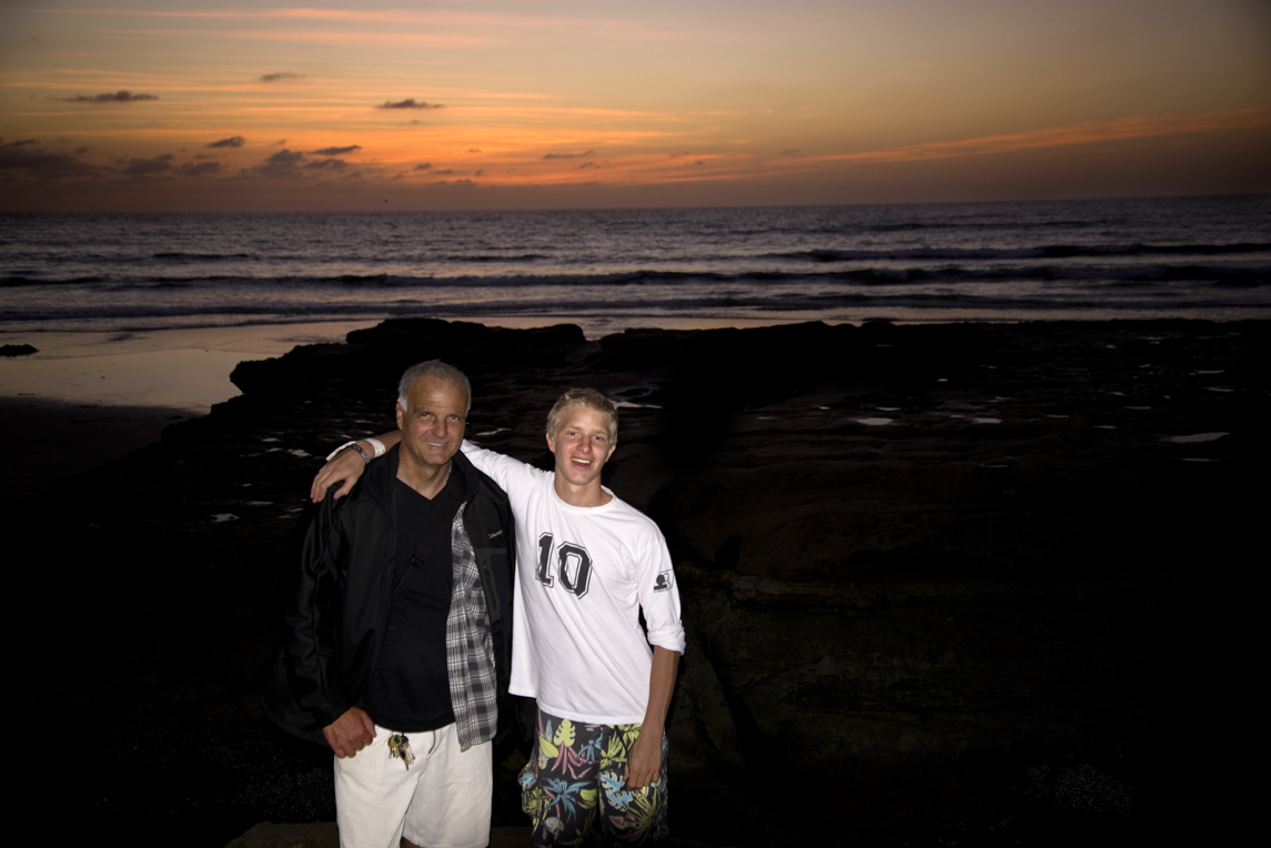
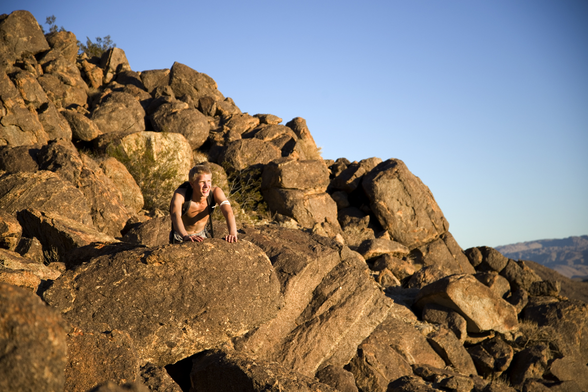
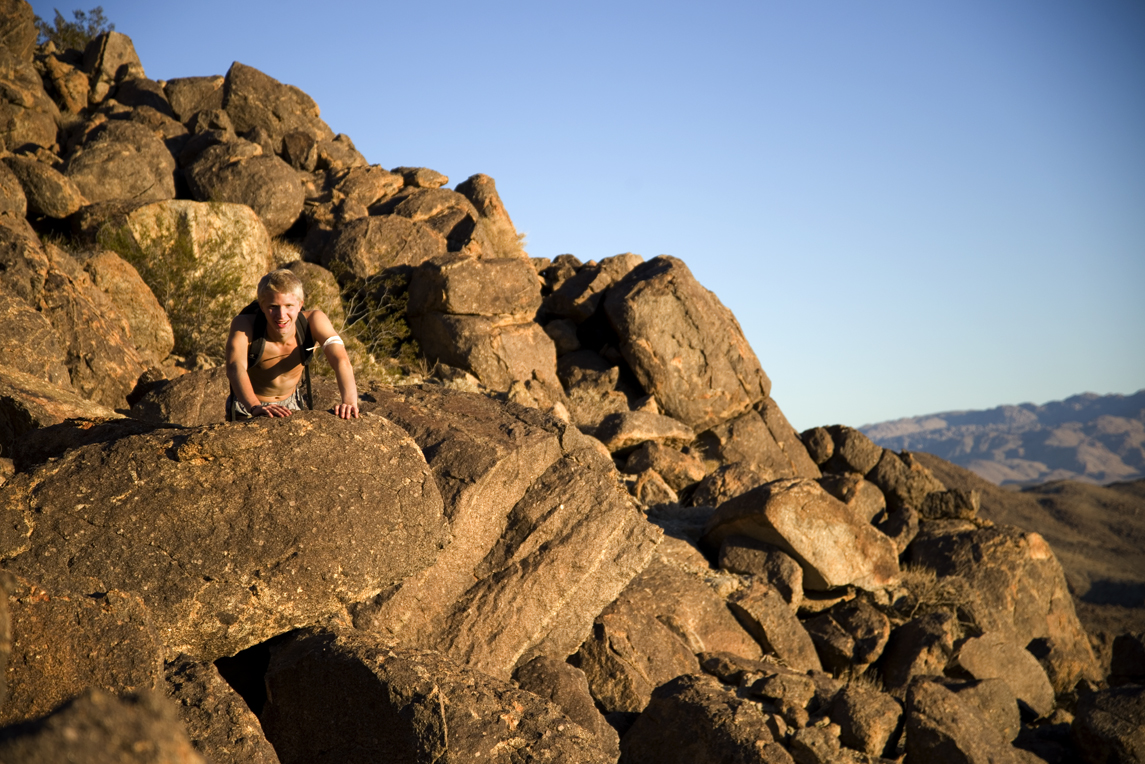
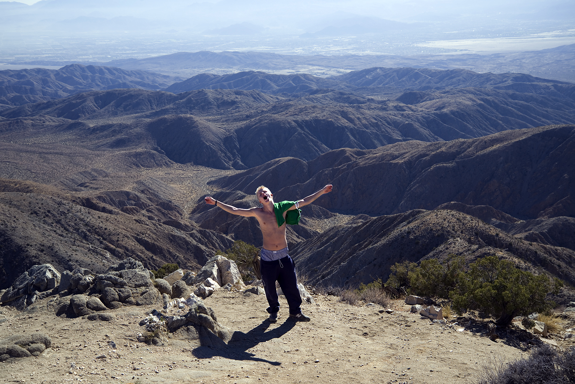
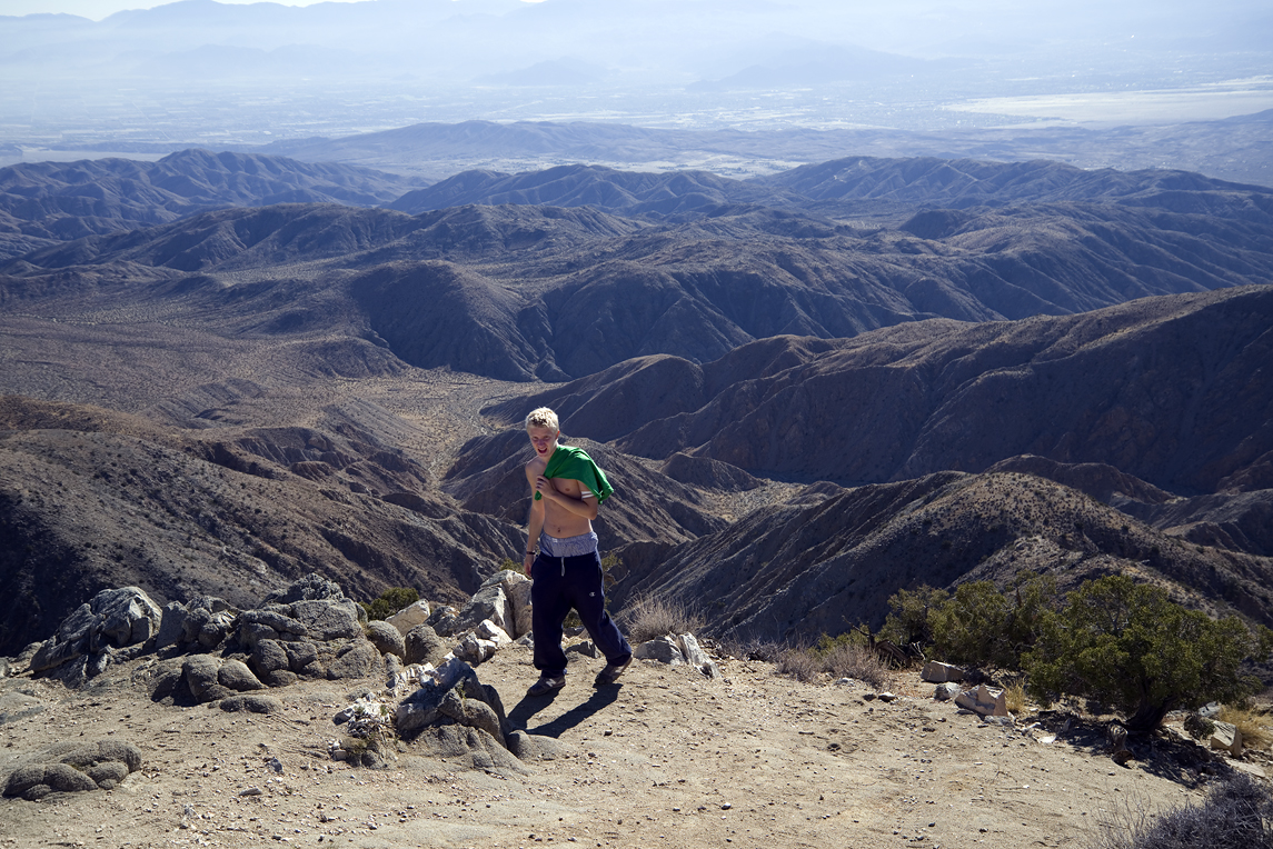
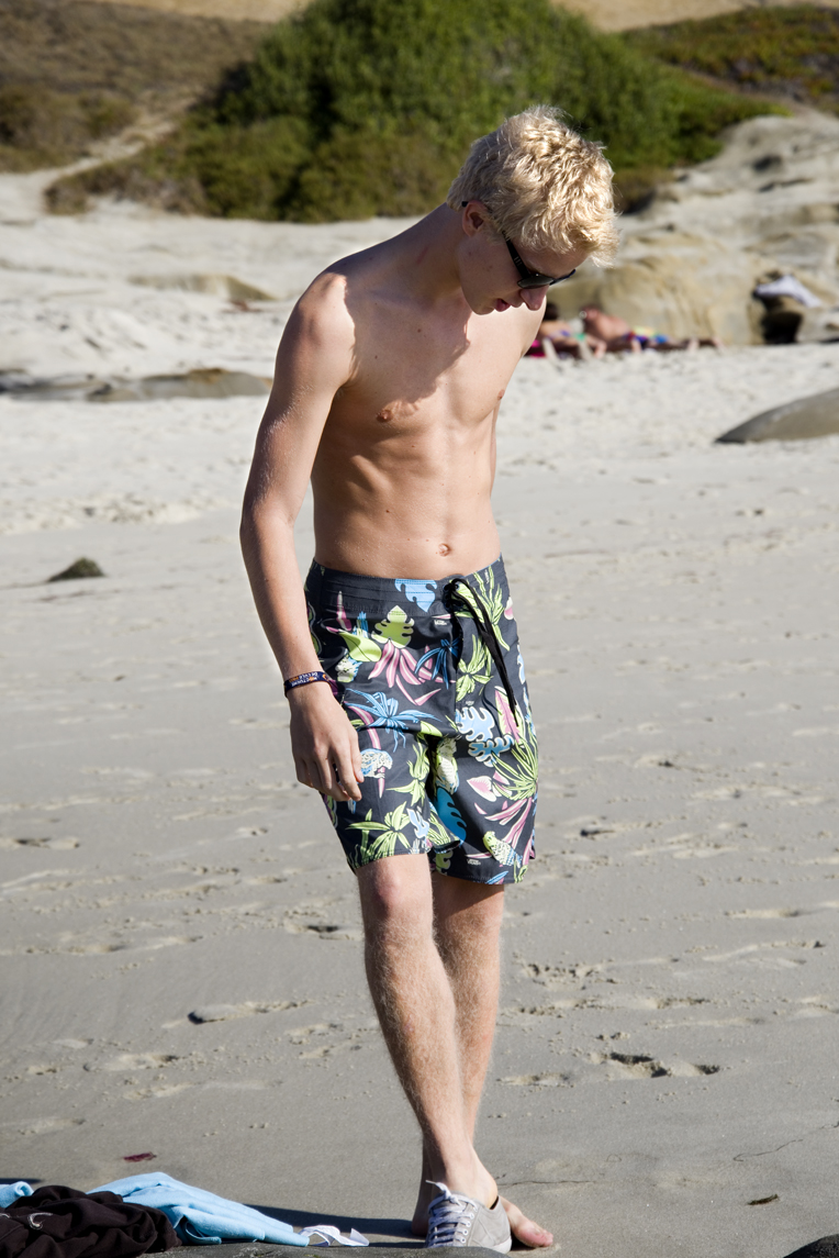
A great day. Fun and adventure!


Joshua Tree

Joshua Tree_27Joshua Tree Raven_29

Two ravens sitting in a Joshua Tree.
The Joshua Tree plant is a true icon of the Mojave Desert and Joshua Tree National Park. But in fact, it’s not a tree! It’s part of the yucca family. The “tree” grows to over 40 feet and produces blooms from February through April. Summer is severe with relentless sunshine, little water, and temperatures over 100 degrees. Yet it is the home to numerous desert birds and critters including the common raven.
joshuatreedetail1FRANKLIN ROOSEVELT
As resilient as the Joshua Tree plants and animals are, their world is fragile. It was Minerva Hoyt who understood the threats from humans to Joshua Tree and spearheaded efforts to persuade President Franklin Delano Roosevelt to proclaim Joshua Tree National Monument in 1936. In 1994 it became Joshua Tree National Park.

Boulder Climb - The descent_62

Matth at rest during his climb to the top of this pile of huge boulders.

There are vast tracks of giant boulder piles in Joshua Tree. The rock piles began underground eons ago as a result of volcanic activity. Granite magma rose deep within the earth. As the granite cooled and crystalized underground, the cracks and joints seen here were formed. The granite continued to push up. Contact with groundwater widened the cracks and rounded the boulders. As surface soil eroded, these tall large piles were fully exposed as we see them today.

Boulder Climb_57

These are the top two boulders from the boulder pile in the previous photo.

Boiulder Climbing_59

The decsent.

Click here: Video footage of the climb http://youtu.be/4xzdmvs5Q-o

Second Morning Campsite77

Campsites within Joshua Tree were full so we found a place nearby called Joshua Tree Lake Campground.

Tent_3Tent_6Tent_9Tent_10_1stDay

Matth setting up his new tent.

Matth_37Matth_36Matth_35

Matth_34

First Hike Complete_45

With the camp set, compass in hand, there was time to hike to the top of the nearby peak overlooking the campground.

First Trail Above Camp_24

On the move to the top.
FirstHike16aboveCamp

The View Above Camp_34

First Hike_14

FirstHike_40

FirstHike_39

Matthieu Sunset Silhouette_41

Bottle House

An interesting site we saw from the top of the peak was this house in the middle of the desert.

Bottle House Close

It had piles of bottles and glass all about, sorted by color.

Bottles

Bottles, bottles – piles everywhere. Also metal pans and machinery parts. There’s a robot-like creation.

Bottle Wall_42

And a wall made bottles.

Sunset Nov 8_

Sunset, November 8, 2013. Joshua Tree Lake Campground. My VW and Matth’s tent.

Breakfast_78

Maple, Sausage, and Egg biscuit “Breakfast In Bed.”

Joshua Tree_55

Stabbed by the spear of a Joshua Tree leaf.

BoulderClimb_56

More boulder climbing.

Hike To "Wall Street Stamp Mill"1

The hike to Wall Street Stamp Mill, a gold crushing mil closed since the 1940’s.

Wall Street Mill Hike_2 Wall Street Mill Hike_3

Wall Street Hike_5Wall Street Hike_6

This may have been the boulder passage where my boots got tangled together causing me to fall and break my wrist.

Wall Street Stamp Mill Flowers_15

Wall Street Stamp Mill_13

Old abandoned truck near “Wall Street Stamp Mill.”

Old truck_Wall Street Stamp Mill hike_14 as Smart Object-1

Wall Street Stamp Mill_10

Wall Street Stamp Mill_9 as

Wall Street Stamp Mill_11

Wall Street Stamp Mill_17

Wall Street Stamp Mill_18

Wall Street Stamp Mill_25

The Wall Street Stamp Mill. The site was named “Wall Street” by miners Oran Booth and Earl McInnes who laid claim here in 1928. William F. Keys took over the claim in 1930 and built this stamp mill to process gold ore from his mine here and other mines in the desert. It is a complete gold ore crushing mill featuring late 19th Century two-stamp mill machinery. It is on the National Register of Historic Sites.

Wall Street Stamp Mine_16

Wall Street Stamp Mill_20

Yet another abandoned vehicle near the mill.

Wall Street Stamp Mill_21

Wall Street Stamp Mill_22

KeysView_37

Keys View

KeysView_41

KeysView_44

Keys View_31

Keys View_30

Keys View_32

KeysView_34Keys View_33

Ryan_103

Water tank for Ryan Ranch

Ryan_98

Ryan Ranch_88

At the western base of Ryan Mountain lie adobe ruins representing early turn of the century life in Joshua Tree National Park. What remains there today is the footprint left behind by the Ryan family, who came to Joshua Tree in the 1890s to manage and eventually acquire the Lost Horse Mine, the most successful mine in the area.

RyanRanch_87

Ryan Ranch originally consisted of three adobe structures: a small one room structure of unknown purpose, a two room bunkhouse, and the main house. Wood and metal structures were eventually added to the site. While the main house is thought to have been built around 1896, the construction dates of the neighboring structures are unknown but thought to post date the main house.

RyanRanch_79

In 1975, Ryan Ranch along with the Lost Horse Well, was added to the National Register of Historic Places (NRHP). The site was nominated as a historic district based on its profitable history and depiction of early mining life and, therefore, its local significance to Joshua Tree National Park and the surrounding communities.

RyanRanch_91

RyanRanch_104

Trail to Ryan Ranch_90


Ryan_110  Ryan Mountain_111

Ryan Mountain_114

Sunrise

Sunrise last day.

Skull_Rock_50

Skull rock.

Skull_Rock_54

Skull Rock_49

Skull_Rock_57

Last Hike_1alt

Ryan Mountain

Last Hike_2alt

Last Hike_7alt


Cowles Mountain

From The Current Series “A Belgian Student In America.”
Converted as Smart Object-1

Cowles Mountain. Not a true mountain. It almost never catches any snow. You won’t find skiers or snowboarders cascading down its slopes. But it is the highest peak within San Diego City limits, 1592 feet. Pronunciation of the name is debated. You often hear Cowles pronounced (as in moo), a cow. And that’s the say locals say it. But descendants of George A. Cowles say it is pronounced Cowles as in coals. Or same as the name Kohls. Family says there’s no moo when it comes to Cowles.
CwlsGeorgeW as Smart Object-1

George A Cowles was a San Diego County ranching pioneer and achieved fame as the “Raisen King of the United States” resulting from his great production of grapes and raisins. But his farming success in the region was comprehensive. A wide variety of fruits, grapevines, olives, grains, and potatoes. He had about a hundred head of thoroughbred horses and 30 head of cattle. All that in a span of only ten years. He came here from Connecticut in 1877 , then died here in 1887. The town of Santee was originally named Cowles Town.

Cowles Trailhead_1alt

“When you come to a fork in the road, take it.” –Yogi Berra.

There are four trails to choose from. The longest and most challenging hike begins from here at Big Rock Park near the corner of Mesa Road and Prospect Avenue. From here you can take either path as seen in this photo.

Cowles Trail_11

Destination,Cowles Mountain, center.

Hiking to the top of Cowles Mountain is popular. Often two of the less challenging trails can make Cowles Mountain appear like an ant hill of people. The advantage of taking this longer and more challenging trail is that it is not so crowded.

Matthieu_Cowles_Mountain_1 -1

The hike is nearly 5 miles long and takes about 3 hours, minus time spent atop the peak.

Cowles_37

The trail cuts through a thick growth of native bushes and small trees known as chaparral.

Matthieu_3-1

Matth is surrounded by Toyan also known as California Holly. The name Hollywood comes from this, a native plant found in the area of what became Hollywood. But it’s found all over Southern California where chaparral grows.
Chaparral broom_24

Chaparral broom, Baccharus sarothroides

Matthieu_Cowles Mountain Hike5

Matthieu surrounded by California Holly, the holly of Hollywood.

Laurel Sumac_28c

Laurel Sumac. The aromatic leaves of this plant are part of the chaparral fragrance hikers smell along the trail.

Cowles Trail_99c

The narrow hiking trail intersects with a wide graded maintenance road leading to the summit.

Cowles Hike_2

He doesn’t tire. He was only waiting for Yours Truly huffing and puffing up the trail.

Converted_98 as Smart Object-1

Looking from one of the numerous switch-backs of the trail leading to the summit, a look back to where we started. Center on the horizon is Cuyamaca peak. A future destination to hike.

Cowles_Mountain_72-1

And then the summit. On the horizon, to the left, peaks in Mexico. Center, right Coronado Islands. Right and far right, Coronado, downtown San Diego, Point Loma. Foreground, center is Lake Murray. But there’s much more to see than this. The view of San Diego County is 360 degrees from atop Cowles.

Cowles Mountain_3

Miguel Mountain_90

The closest peak on the left is Mount Helix. Center is San Miguel Mountain. Then behind it is Otay Mountain.

Cowles Mountain_5

El Capitan_92

El Cajon Mountain or “El Capitan,” as it is commonly called. To the far right is Cuyamaca Peak.

MatthieuCowlesMountain_2-1

LyonsPeak_91

Tecate Peak is to the right. Lyons Peak is left. Lyons Peak had been a favorite hiking destination in San Diego until a crazy man with a rifle bought property with the right of way to the peak. When people ignore his “No Trespassing” signs, he fires bullets at them. So far no one has been shot, but hikers stay away-not wanting to be the first victim.

Cowles Mountain_Matthieu

Date of this hike was Saturday November 2, 2013.

In Search Of Goat Canyon – Corrizo Trestle


From The Current Series “A Belgian Student In America.”Box Canyon_Anza Borrego State Park

Saturday October 26 was our first adventure away from the urban area of San Diego. This trip took us to Anza Borrego desert in search of the Goat Canyon – Corrizo Trestle

Google Map SD to Dos Cabezos Rd

The drive time listed is 1 hour and 30 minutes. In the Volkswagen, it’s more like 2 hours.

Ion Air anza borrego5

On the road. Rocking to Jailhouse Rock, Teddy Bear, Runaway Sue, The Wanderer, Twist and Shout, Ça plane pour moi, and many others….

This was the intended destination:

CorrizoGorgeInfo_b

But had some challenges finding it.

On The Road Again as Smart Object-1

The not so early start of the trip meant less time on the hiking trail.

Ion Air Pro Anza Borrego

Then there was the slow trek on six miles of unpaved road.

Dos Cabezos Road

The red indicates the nearly six mile course we took which left us at the train tracks. Based on published info we had expected a paved crossing at the tracks. But no! The tracks were elevated too high for the VW to cross over. The plan was to continue on the unpaved road for a couple more miles beyond the tracks to the Goat Canyon trail head. But instead we decided to park the VW at the tracks and hike to the trail head from there. What we did not know – and what the yellow line indicates – we had missed the turn for the paved crossing.

Matthieu_3alt

Matthieu_Dos Cabezas_Anza Borrego Park

Tower_1

Screenshot 2014-03-04 09.09.04

Yellow marks the road that we should have found. But the green shows where we connected to a wash which looked very similar to a road. The trails and roads seemed to vanish and reappear before our feet – not as clear as it looks from a satellite.
The Big Drink_14

It had tread marks of a road. But only ended up being a wash.

Screenshot 2014-03-04 11.58.16

Continuing from the previous map, this is the trail head we were looking for, just to begin the hike.

Hike_6

Then there were tempting peaks to climb to along the way.

Matthieu_8_AnzaBorregoStatePark

I'm On Top Of the World

Ion Air Pro Anza Borrego2

A view from the top.

Matthieu_20-1

Matthieu_16_Camera-1

Matthieu21Rock-1

Ion Air Anza Borrego 3

Then the sun got lower in the sky. We decided not to risk having to hike back in the dark. Later a friend told me how easy it is to get lost trying to find the Goat Canyon trail. He ended up on wrong trails and had to scramble over boulders in the dark to return to his vehicle. We made the right decision, being mindful of how late it was.

BoxCanyon_23

It provided opportunity to see other outstanding desert scenery while returning home.

UnderTheBloodRedSky_29

We stopped in the town of Borrego to refuel, to have dinner, and enjoy a magnificent sunset. Even though we failed to reach the Goat Canyon – Carrizo Trestle, it was a super fun day – and will be remembered.

10/26/2014 Update, one year later. More photo to share – more great memories to enjoy.

Matth_2_Anza Borrego_October 2013_ Matth_7_Anza Borrego October 26_2013 Matth_12_Anza Borrego_ Matth_13_Water Matth_19_Anza Borrego October 2013

A Belgian’s First Swim In The Pacific At La…

Matthieu1

October 18, 2013 Beach Trip. First stop, Mitch’s Surf Shop in La Jolla. Getting board shorts.

La Jolla_2

Checking out Windansea Beach at La Jolla.

Matthieu4

Matthieu7

The Windansea Surf Shack is a Polynesian style hut created by Windansea surfers in 1946 for Polynesian luau beach parties. A surf gang emerged at Windansea in the early 1960’s, and went by the name Mac Media Destruction Company. I’m not sure if the gang or their culture would be remembered so much today except for the book “Pump House Gang” by the famous American writer Tom Wolfe. It is because of that and the significance of San Diego’s beach culture at Windansea Beach that the Surf Shack was designated as a Historical Landmark in 1998. Windansea remains one of California’s prime surfing destinations.

Pump House Gang

The Pump House Gang brought enduring fame to a group of surfers known as the Mac Media Destruction Company in 1968

La Jolla_19b

La Jolla_3

wavej as Smart Object-1

A surfer carving the wave at Windansea.

Matthieu_8

Matthieu_11

Then down the coast to Bird Rock of La Jolla

birdrock as Smart Object-1

The Bird Rock of La Jolla

Matthieu10

Having a look at Bird Rock